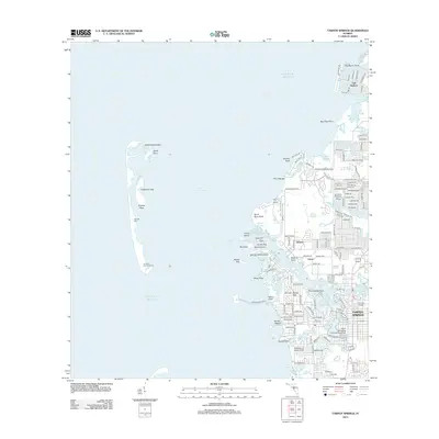
2012 Map of Tarpon Springs
USGS Topo · Published 2012About this map
The Anclote Key Lighthouse stands as a sentinel on the southern tip of Anclote Key, overlooking the protected waters of the Anclote Anchorage. This coastal landscape is defined by an intricate network of islands and keys, including Dutchman Key and North Anclote Key, separated from the mainland by the Gulf of Mexico. On the shore, the town of Tarpon Springs is woven together by water, with Kreamer Bayou, Tarpon Bayou, and Whitcomb Bayou cutting deep into the residential grid. The map reveals the modern development of communities like Gulf Harbors and Sunset Hills alongside established educational hubs like Saint Petersburg Community College. To the north, the winding course of the Anclote River passes the settlement of Anclote and the Anclote Bridge, illustrating the complex relationship between Florida's suburban growth and its fragile estuarine environment.
Find a feature on this map
154 named features on this map. Tap any name to fly to it.
Don’t see what you’re looking for? This feature index may not catch every label — zoom into the map to look around manually.
Map Details
Editions of this 2012 Tarpon Springs Map
This is the sole edition of this map. No revisions or reprints were ever made.
Other maps of this area

1943 · Dunedin
USGS Topo · 1:31,680

1943 · Tarpon Springs
USGS Topo · 1:31,680

1943 · Elfers
USGS Topo · 1:24,000

1943 · Oldsmar
USGS Topo · 1:24,000

1944 · Elfers
USGS Topo · 1:31,680

1944 · Oldsmar
USGS Topo · 1:31,680

1948 · Elfers
USGS Topo · 1:25,000

1954 · Port Richey
USGS Topo · 1:24,000

1955 · Plant City
USGS Topo · 1:250,000

1958 · Plant City
USGS Topo · 1:250,000