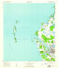
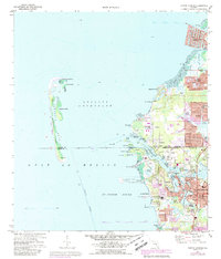
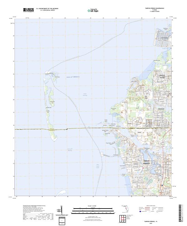
1943 Map of Tarpon Springs
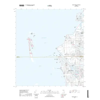
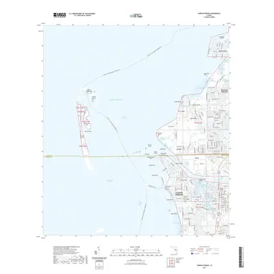
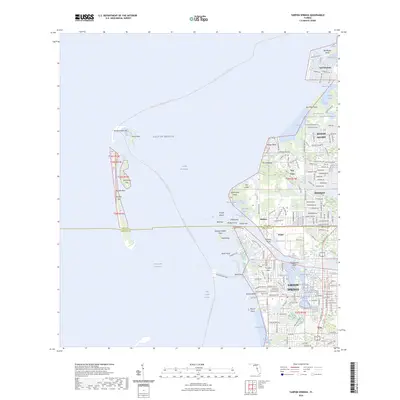
USGS Topo · Published 1961About this map
Tarpon Springs is the focal point of this 1943 survey, revealing the intricate waterborne geography of the Pinellas and Pasco county line. The town's connection to the Gulf of Mexico is defined by a series of interconnected waterways, including Spring Bayou, Tarpon Bayou, and Whitcomb Bayou, which sit at the heart of the settlement. The survey illustrates the community's reliance on both rail and sea, showing the Atlantic Coast Line railroad terminating near the busy sponge docks and the Municipal Pier.
Find a feature on this map
46 named features on this map. Tap any name to fly to it.
Don’t see what you’re looking for? This feature index may not catch every label — zoom into the map to look around manually.
Map Details
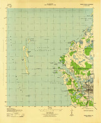
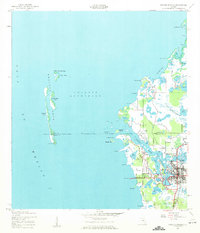
Editions of this 1943 Tarpon Springs Map
3 editions found
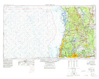
Historical Maps of Tarpon Springs Through Time
11 maps found
1943 Tarpon Springs
Pinellas County, FL
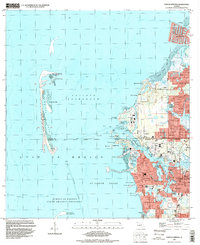
1955 Tarpon Springs
Pinellas County, FL
1973 Tarpon Springs
Pinellas County, FL

1978 Tarpon Springs
Pinellas County, FL
1995 Tarpon Springs
Pinellas County, FL
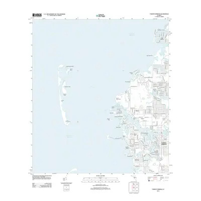
2012 Tarpon Springs
Pinellas County, FL
2015 Tarpon Springs
Pinellas County, FL
2018 Tarpon Springs
Pinellas County, FL
2021 Tarpon Springs
Pinellas County, FL
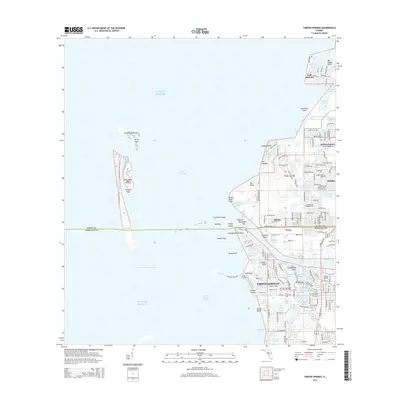
2024 Tarpon Springs
Pinellas County, FL
2025 Tarpon Springs
Pinellas County, FL