2022 Map of Tarrant
USGS Topo · Published 2022About this map
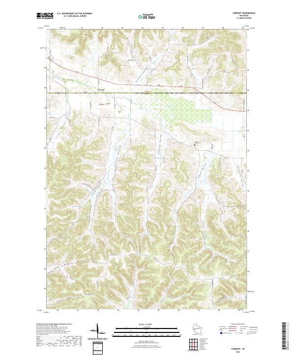
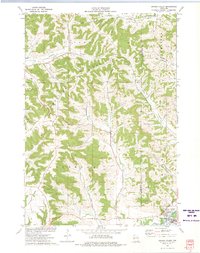
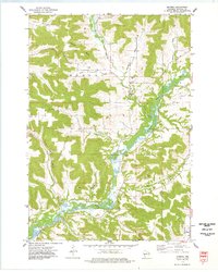
The tiny settlement of Tarrant marks the intersection of local routes along the Pepin and Buffalo County line, serving as a rare point of congregation in a landscape dominated by a complex network of coulees and valleys. This 2022 survey reveals a deeply dissected terrain where the ridge-and-valley topography dictates the path of every road and settlement, such as those winding through Brunner Coulee and Isham Valley. To the east, the Bear Creek Swamp serves as a significant drainage basin for Bear Creek, illustrating the hydraulic connection between the uplands and the river bottoms. Local history is anchored by sites like the Sacred Heart Cem in Dugan Valley, while family names are immortalized in features like Johnson Schultz Valley, Carrel Valley, and Steinke Valley.
Find a feature on this map
68 named features on this map. Tap any name to fly to it.
Don’t see what you’re looking for? This feature index may not catch every label — zoom into the map to look around manually.
Map Details
Editions of this 2022 Tarrant Map
This is the sole edition of this map. No revisions or reprints were ever made.
Historical Maps of Tarrant Through Time
16 maps found
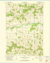
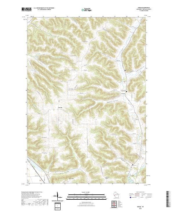
1972 Durand South
Buffalo County, WI
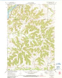
1972 Tarrant
Buffalo County, WI
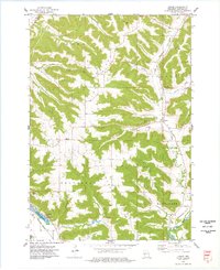
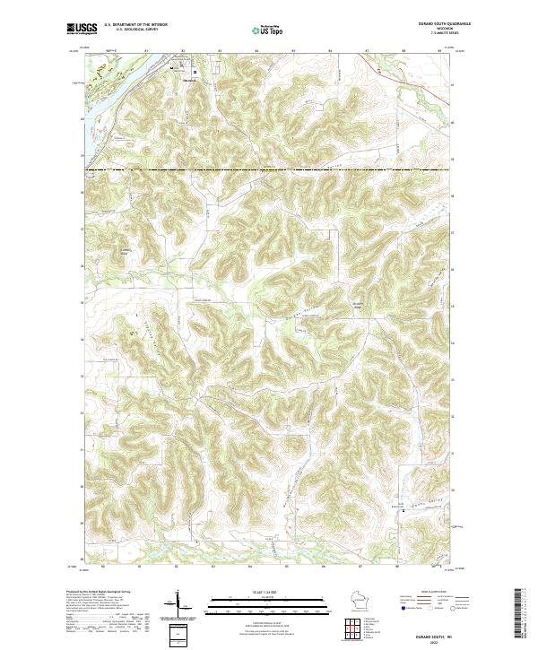
1973 Lookout
Buffalo County, WI
1973 Rossman Creek
Buffalo County, WI
1973 Swinns Valley
Buffalo County, WI
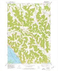
1974 Cream
Buffalo County, WI
1974 Modena
Buffalo County, WI
1974 Urne
Buffalo County, WI
2022 Cream
Buffalo County, WI
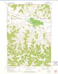
2022 Durand South
Buffalo County, WI
2022 Lookout
Buffalo County, WI
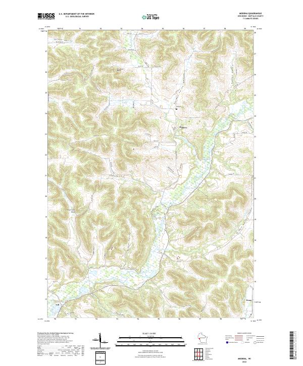
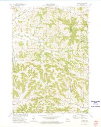
2022 Modena
Buffalo County, WI
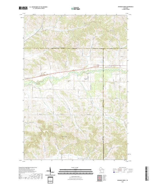
2022 Rossman Creek
Buffalo County, WI
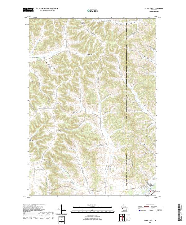
2022 Swinns Valley
Buffalo County, WI
2022 Tarrant
Buffalo County, WI
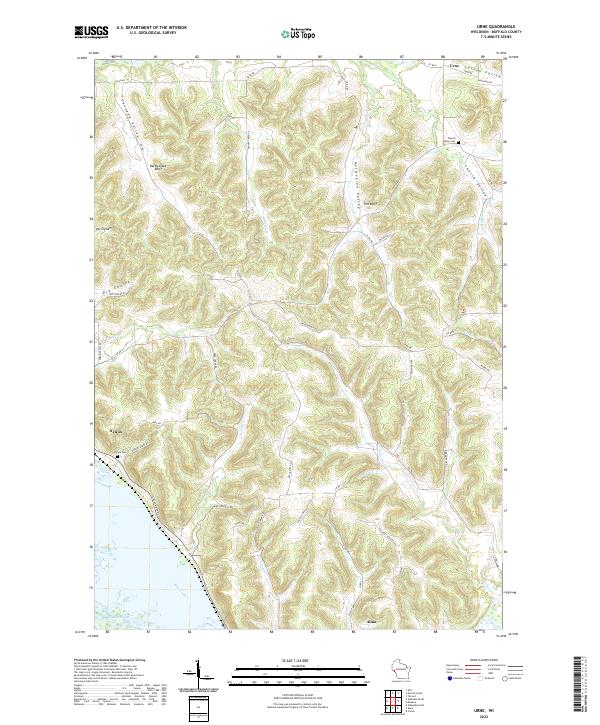
2022 Urne
Buffalo County, WI