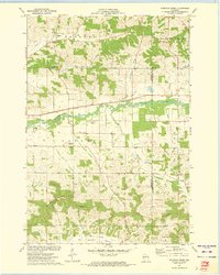
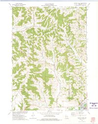
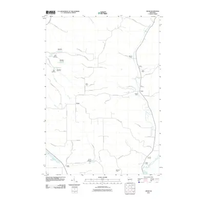
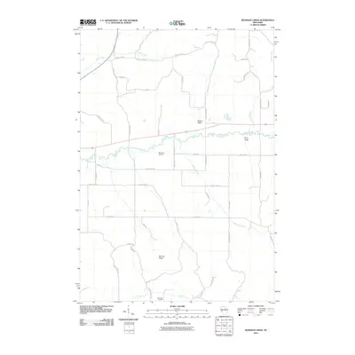
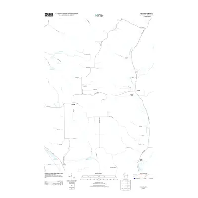
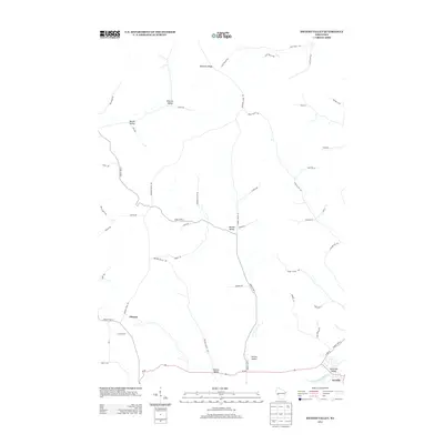
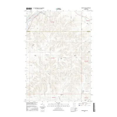
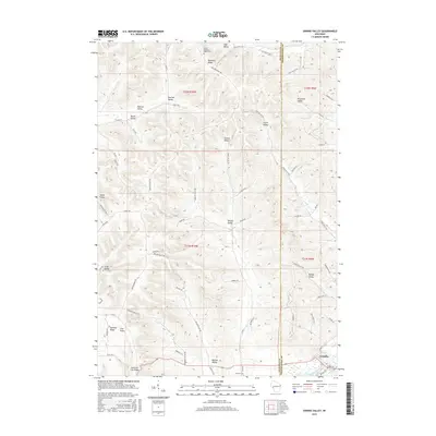
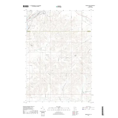
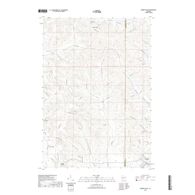
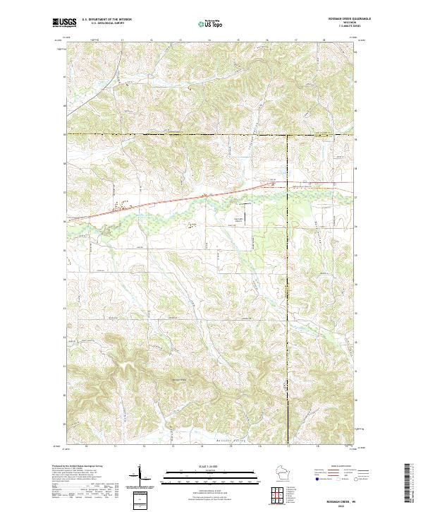
1973 Map of Rossman Creek
USGS Topo · Published 1975About this map
The Buffalo River valley in the mid-1970s is defined by a dense network of coulees and ridges where Naples and Albion townships meet. The Chicago and North Western railroad tracks parallel the river's winding course, serving a landscape dominated by agricultural valley floors and timbered heights like Bennett Ridge and the prominent Chimney Rock.
Find a feature on this map
26 named features on this map. Tap any name to fly to it.
Don’t see what you’re looking for? This feature index may not catch every label — zoom into the map to look around manually.
Map Details
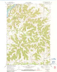
Editions of this 1973 Rossman Creek Map
This is the sole edition of this map. No revisions or reprints were ever made.
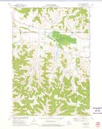
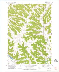
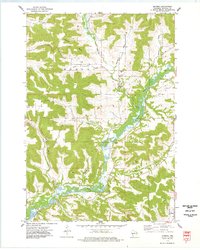
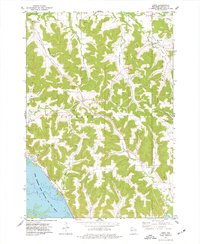
Historical Maps of Pleasant Valley Through Time
48 maps found
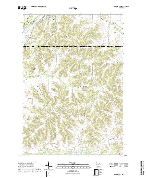
1972 Durand South
Buffalo County, WI
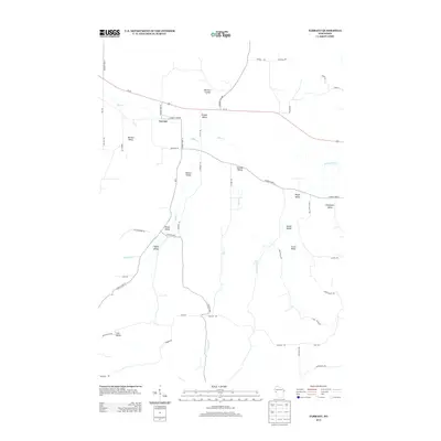
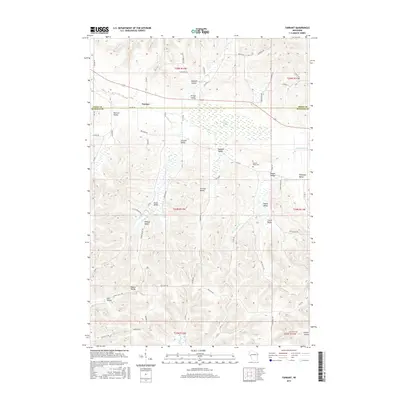
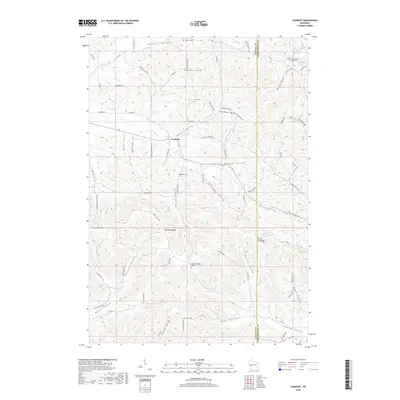
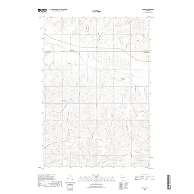
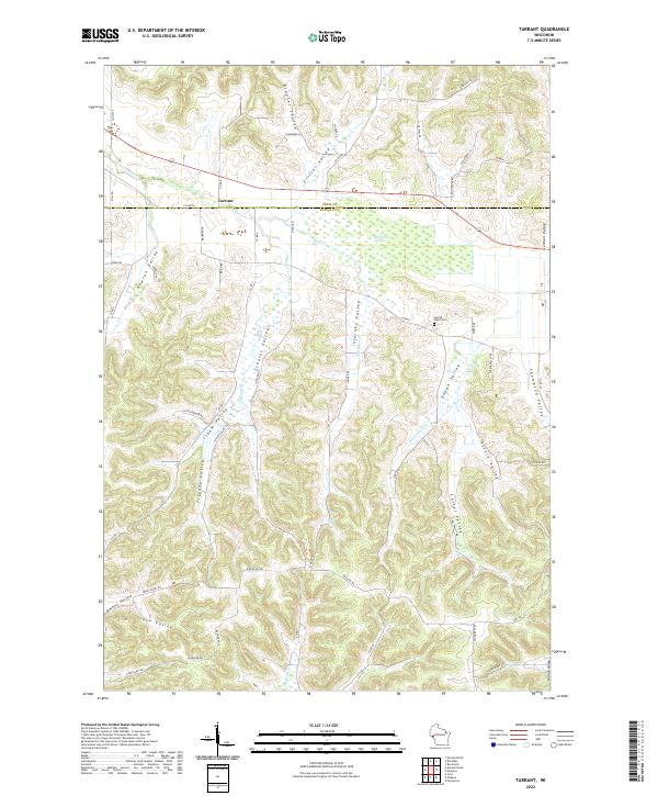
1972 Tarrant
Buffalo County, WI
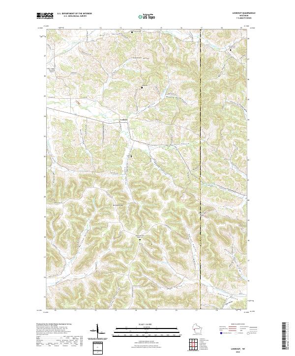
1973 Lookout
Buffalo County, WI
1973 Rossman Creek
Buffalo County, WI
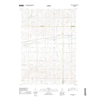
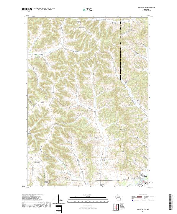
1973 Swinns Valley
Buffalo County, WI
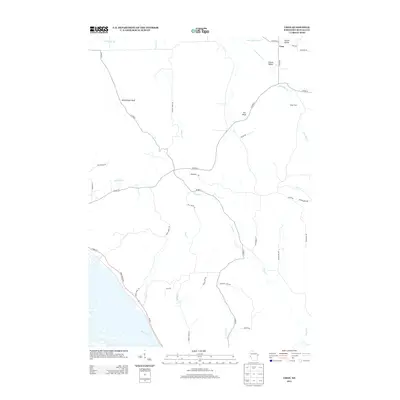
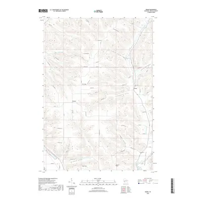
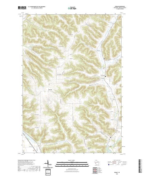
1974 Cream
Buffalo County, WI
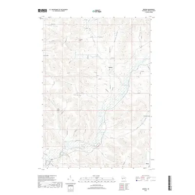
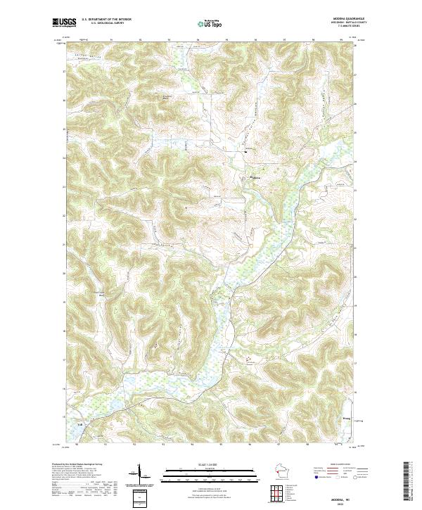
1974 Modena
Buffalo County, WI
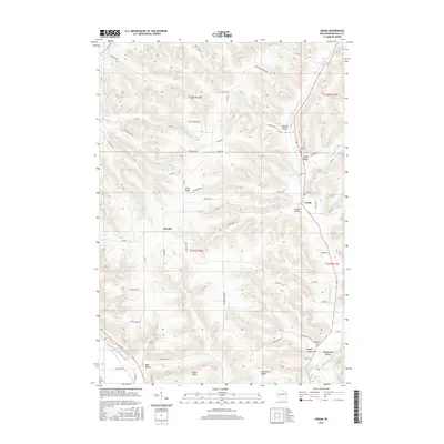
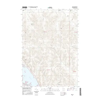
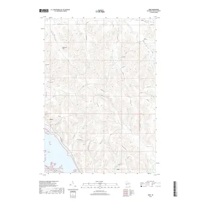
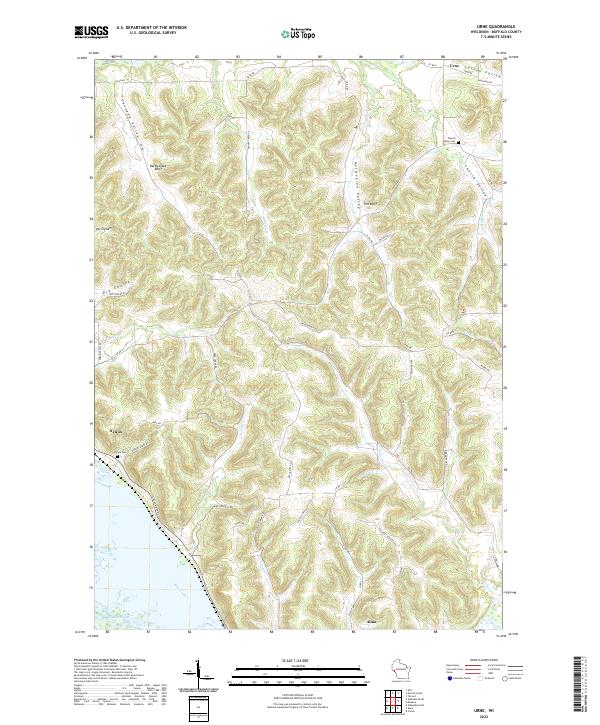
1974 Urne
Buffalo County, WI
2010 Cream
Buffalo County, WI
2010 Durand South
Buffalo County, WI
2010 Lookout
Buffalo County, WI
2010 Modena
Buffalo County, WI
2010 Rossman Creek
Buffalo County, WI
2010 Swinns Valley
Buffalo County, WI
2010 Tarrant
Buffalo County, WI
2010 Urne
Buffalo County, WI
2013 Cream
Buffalo County, WI
2013 Durand South
Buffalo County, WI
2013 Lookout
Buffalo County, WI
2013 Modena
Buffalo County, WI

2013 Rossman Creek
Buffalo County, WI
2013 Swinns Valley
Buffalo County, WI
2013 Tarrant
Buffalo County, WI
2013 Urne
Buffalo County, WI
2015 Cream
Buffalo County, WI
2015 Durand South
Buffalo County, WI
2015 Lookout
Buffalo County, WI
2015 Modena
Buffalo County, WI
2015 Rossman Creek
Buffalo County, WI
2015 Swinns Valley
Buffalo County, WI
2015 Tarrant
Buffalo County, WI
2015 Urne
Buffalo County, WI
2018 Cream
Buffalo County, WI
2018 Durand South
Buffalo County, WI
2018 Lookout
Buffalo County, WI
2018 Modena
Buffalo County, WI
2018 Rossman Creek
Buffalo County, WI
2018 Swinns Valley
Buffalo County, WI
2018 Tarrant
Buffalo County, WI
2018 Urne
Buffalo County, WI
2022 Cream
Buffalo County, WI
2022 Durand South
Buffalo County, WI
2022 Lookout
Buffalo County, WI
2022 Modena
Buffalo County, WI
2022 Rossman Creek
Buffalo County, WI
2022 Swinns Valley
Buffalo County, WI
2022 Tarrant
Buffalo County, WI
2022 Urne
Buffalo County, WI