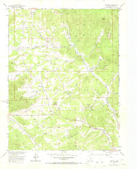
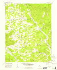
1956 Map of Tarryall
USGS Topo · Published 1973About this map
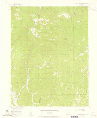
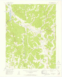
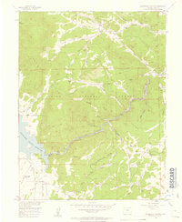
Tarryall and the nearby settlement of Thorpe sit at the northern edge of this mid-century topographic study, which documents the complex drainage systems of the Pike National Forest. The landscape is defined by the winding course of Tarryall Creek, fed by a network of gulches including Redskin Creek and Badger Gulch. Local ranching and mining history is evident through features like the Landis Ranch, Warlings Ranch, and the St Joe Tunnel. A distinct mix of transportation methods is visible, from the established Lasalle Pass Road and Jeep Trail to the Badger Flats Airstrip. Unique geological notations for the Badger Mtn Belt and Round Mtn Belt indicate the specific mineralogical focus of the surveyors during the 1950s field checks.
Find a feature on this map
29 named features on this map. Tap any name to fly to it.
Don’t see what you’re looking for? This feature index may not catch every label — zoom into the map to look around manually.
Map Details
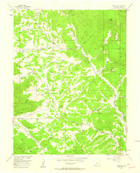
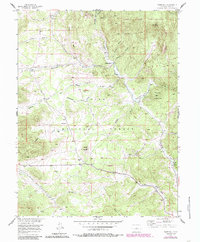
Editions of this 1956 Tarryall Map
4 editions found
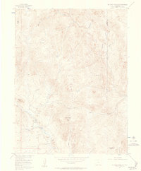
Other maps of this area

1893 · Platte Canyon
USGS Topo · 1:125,000

1894 · Pikes Peak
USGS Topo · 1:125,000

1901 · Pikes Peak
USGS Topo · 1:125,000

1953 · Denver
USGS Topo · 1:250,000

1954 · Pueblo
USGS Topo · 1:250,000
1956 · Mc Curdy Mountain
USGS Topo · 1:24,000
1956 · Tarryall
USGS Topo · 1:24,000
1956 · Hackett Mountain
USGS Topo · 1:24,000
1956 · Lake George
USGS Topo · 1:24,000
1956 · Elevenmile Canyon
USGS Topo · 1:24,000