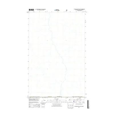
2014 Map of Tatoosh Buttes OE N
USGS Topo · Published 2014About this map
The Canada / United States of America international boundary defines the southern edge of this 2014 survey, marking the transition between the northern reaches of Okanogan Co, Washington, and the British Columbia interior. This map focuses on a high-latitude wilderness area where the complex network of unnamed mountain drainages and seasonal creek beds forms the primary geographic character. The lack of named roads or settlements underscores the isolation of this borderland region, which primarily serves as a corridor for natural hydrography and forestry management across the 49th parallel. Historically significant for its placement along the surveyed line between two nations, the map provides a precise look at the drainage patterns that flow across political boundaries, illustrating the landscape as it appeared just before the mid-2010s.
Find a feature on this map
3 named features on this map. Tap any name to fly to it.
Don’t see what you’re looking for? This feature index may not catch every label — zoom into the map to look around manually.
Map Details
Editions of this 2014 Tatoosh Buttes OE N Map
This is the sole edition of this map. No revisions or reprints were ever made.
Other maps of this area
1920 · Slate Pass
USGS Topo · 1:125,000

1955 · Concrete
USGS Topo · 1:250,000

1958 · Concrete
USGS Topo · 1:250,000

1962 · Concrete
USGS Topo · 1:250,000
1969 · Frosty Creek
USGS Topo · 1:24,000
1969 · Ashnola Mtn
USGS Topo · 1:24,000
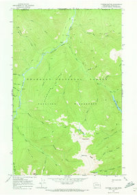
1969 · Tatoosh Buttes
USGS Topo · 1:24,000
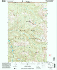
2002 · Ashnola Mountain
USGS Topo · 1:24,000
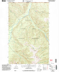
2002 · Tatoosh Buttes
USGS Topo · 1:24,000
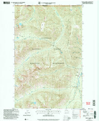
2002 · Frosty Creek
USGS Topo · 1:24,000