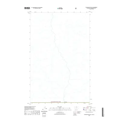
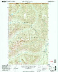
2020 Map of Tatoosh Buttes OE N
USGS Topo · Published 2020About this map
The northern boundary of Mount Baker National Forest meets the international border of Canada in this 2020 topographic survey. This area is characterized by an intricate drainage system, where numerous unnamed mountain streams and tributaries carve through the high-elevation landscape. The map captures the remote wilderness at the very edge of the Washington state line, showing a terrain defined by its natural hydrology and forest management boundaries rather than human settlement or commercial infrastructure. It serves as a clear record of the protected lands and watershed patterns that define this specific section of the Pacific Northwest backcountry.
Find a feature on this map
2 named features on this map. Tap any name to fly to it.
Don’t see what you’re looking for? This feature index may not catch every label — zoom into the map to look around manually.
Map Details
Editions of this 2020 Tatoosh Buttes OE N Map
This is the sole edition of this map. No revisions or reprints were ever made.
Other maps of this area

1920 · Slate Pass
USGS Topo · 1:125,000

1955 · Concrete
USGS Topo · 1:250,000

1958 · Concrete
USGS Topo · 1:250,000

1962 · Concrete
USGS Topo · 1:250,000

1969 · Frosty Creek
USGS Topo · 1:24,000
1969 · Ashnola Mtn
USGS Topo · 1:24,000

1969 · Tatoosh Buttes
USGS Topo · 1:24,000
2002 · Ashnola Mountain
USGS Topo · 1:24,000
2002 · Tatoosh Buttes
USGS Topo · 1:24,000
2002 · Frosty Creek
USGS Topo · 1:24,000