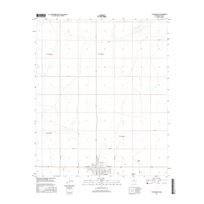
2017 Map of Tatum North
USGS Topo · Published 2017About this map
The town of Tatum sits at the southern edge of this survey, where the grid of a residential community meets the open expanse of the Llano Estacado. The map details the local street network, centered on W Broadway St and E Broadway St, and includes essential civic landmarks such as the Post Office and the nearby Tatum Airport. To the north, the landscape is defined by vast sections of grazing land or oil-and-gas territory, marked by intermittent features like Ranger Lake and the subtle depression of Eightmile Draw. A network of rural routes, including Hart RD, Harton RD, and James RD, connects the outlying ranching or drilling interests to the municipal center, reflecting the dispersed nature of Lea County's rural economy.
Find a feature on this map
41 named features on this map. Tap any name to fly to it.
Don’t see what you’re looking for? This feature index may not catch every label — zoom into the map to look around manually.
Map Details
Editions of this 2017 Tatum North Map
This is the sole edition of this map. No revisions or reprints were ever made.
Other maps of this area

1954 · Brownfield
USGS Topo · 1:250,000

1958 · Brownfield
USGS Topo · 1:250,000

1961 · Johnson Ranch
USGS Topo · 1:24,000

1962 · Brownfield
USGS Topo · 1:250,000

1970 · Prairieview NW
USGS Topo · 1:24,000

1970 · Walking Cane Ranch
USGS Topo · 1:24,000

1970 · Gladiola
USGS Topo · 1:24,000

1970 · Johnson Ranch
USGS Topo · 1:24,000

1970 · Simanola Valley
USGS Topo · 1:24,000

1970 · Tatum South
USGS Topo · 1:24,000