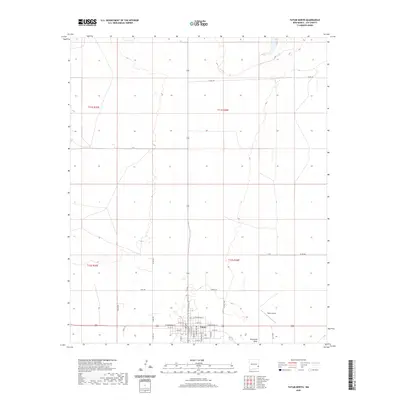
2020 Map of Tatum North
USGS Topo · Published 2020About this map
Tatum anchors the southern edge of this survey, serving as a hub for the high plains of Lea County. The town's grid is clearly defined by residential streets such as N Main St and W Broadway St, transitioning quickly into a landscape shaped by rural transit and ranching access. Regional movement is facilitated by a network of local corridors like Hart Rd and Harton Rd, which cut through the open terrain of the Llano Estacado. To the east of the primary settlement, the Tatum Airport provides an essential connection for this isolated area, while the natural drainage of Eightmile Draw meanders across the southeastern quadrant. The map detail reflects a modern high-plains community where family-named routes like James Rd and Black Rd provide access to the vast ranch lands surrounding the town center.
Find a feature on this map
40 named features on this map. Tap any name to fly to it.
Don’t see what you’re looking for? This feature index may not catch every label — zoom into the map to look around manually.
Map Details
Editions of this 2020 Tatum North Map
This is the sole edition of this map. No revisions or reprints were ever made.
Other maps of this area

1954 · Brownfield
USGS Topo · 1:250,000

1958 · Brownfield
USGS Topo · 1:250,000
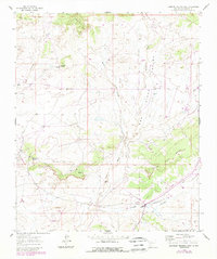
1961 · Johnson Ranch
USGS Topo · 1:24,000

1962 · Brownfield
USGS Topo · 1:250,000
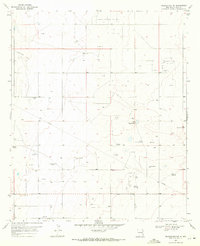
1970 · Prairieview NW
USGS Topo · 1:24,000
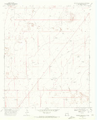
1970 · Walking Cane Ranch
USGS Topo · 1:24,000
1970 · Gladiola
USGS Topo · 1:24,000
1970 · Johnson Ranch
USGS Topo · 1:24,000
1970 · Simanola Valley
USGS Topo · 1:24,000
1970 · Tatum South
USGS Topo · 1:24,000