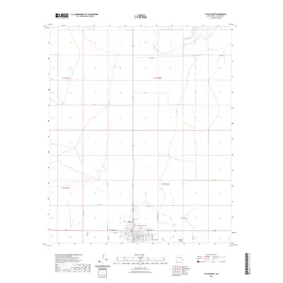
2023 Map of Tatum North
USGS Topo · Published 2023About this map
Tatum serves as the central hub of this eastern New Mexico landscape, positioned at the intersection of several significant local thoroughfares. The town's grid is meticulously detailed, extending from the primary artery of N Main St to residential streets like S Anderson Ave and E Cottonwood St. To the east, the Tatum Airport and the Tatum Cem provide critical local infrastructure, while the land to the north and south is partitioned by the Public Land Survey System into townships like t11s r36e and t12s r36e.
Find a feature on this map
43 named features on this map. Tap any name to fly to it.
Don’t see what you’re looking for? This feature index may not catch every label — zoom into the map to look around manually.
Map Details
Editions of this 2023 Tatum North Map
This is the sole edition of this map. No revisions or reprints were ever made.
Other maps of this area

1954 · Brownfield
USGS Topo · 1:250,000

1958 · Brownfield
USGS Topo · 1:250,000

1961 · Johnson Ranch
USGS Topo · 1:24,000

1962 · Brownfield
USGS Topo · 1:250,000

1970 · Prairieview NW
USGS Topo · 1:24,000

1970 · Walking Cane Ranch
USGS Topo · 1:24,000

1970 · Gladiola
USGS Topo · 1:24,000

1970 · Johnson Ranch
USGS Topo · 1:24,000

1970 · Simanola Valley
USGS Topo · 1:24,000

1970 · Tatum South
USGS Topo · 1:24,000