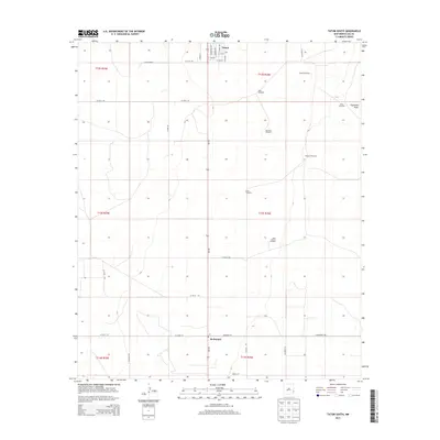
2013 Map of Tatum South
USGS Topo · Published 2013About this map
Tatum and the smaller settlement of McDonald anchor this section of the High Plains, where the landscape is defined by the practical infrastructure of ranching and the grid of rural roads. The area is marked by numerous family and locational landmarks, specifically windmills that served as critical water sources across the Llano Estacado. These features, such as Camps Windmill, Keenum Windmill, and Hardrock Windmill, trace the history of land use and livestock management in Lea County. The natural topography is relatively subtle, with the notable exception of Eightmile Draw, which cuts across the northeast corner of the sheet. Modern transportation follows established routes, with NM-206 running north-south through the center of the survey, connecting the local communities to the broader region. The map provides a clear look at the intersection of town life and the wide-open ranching country just before the mid-2010s.
Find a feature on this map
40 named features on this map. Tap any name to fly to it.
Don’t see what you’re looking for? This feature index may not catch every label — zoom into the map to look around manually.
Map Details
Editions of this 2013 Tatum South Map
This is the sole edition of this map. No revisions or reprints were ever made.
Other maps of this area

1954 · Brownfield
USGS Topo · 1:250,000

1958 · Brownfield
USGS Topo · 1:250,000

1962 · Brownfield
USGS Topo · 1:250,000
1970 · Prairieview
USGS Topo · 1:24,000
1970 · Prairieview NW
USGS Topo · 1:24,000
1970 · Gladiola
USGS Topo · 1:24,000
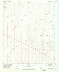
1970 · Simanola Valley
USGS Topo · 1:24,000
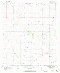
1970 · Hillburn City
USGS Topo · 1:24,000
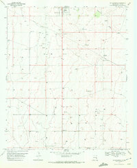
1970 · Tatum South
USGS Topo · 1:24,000
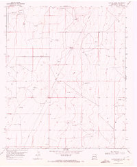
1970 · Alston Ranch
USGS Topo · 1:24,000