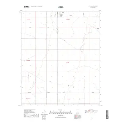
2020 Map of Tatum South
USGS Topo · Published 2020About this map
Tatum anchors the northern boundary of this high plains landscape, where the town's street grid transitions into the expansive ranching and agricultural tracts of Lea County. The southern portion of the village is detailed with residential thoroughfares such as S Bridges Ave and S Fox Ave, illustrating the community's layout south of 14th Street. As the terrain moves toward the rural settlement of McDonald, the map reveals a complex network of section-line roads and named tracks, including Sartin Rd and S James Rd, which define the local land use patterns.
Find a feature on this map
31 named features on this map. Tap any name to fly to it.
Don’t see what you’re looking for? This feature index may not catch every label — zoom into the map to look around manually.
Map Details
Editions of this 2020 Tatum South Map
This is the sole edition of this map. No revisions or reprints were ever made.
Other maps of this area

1954 · Brownfield
USGS Topo · 1:250,000

1958 · Brownfield
USGS Topo · 1:250,000

1962 · Brownfield
USGS Topo · 1:250,000

1970 · Prairieview
USGS Topo · 1:24,000

1970 · Prairieview NW
USGS Topo · 1:24,000

1970 · Gladiola
USGS Topo · 1:24,000

1970 · Simanola Valley
USGS Topo · 1:24,000

1970 · Hillburn City
USGS Topo · 1:24,000

1970 · Tatum South
USGS Topo · 1:24,000

1970 · Alston Ranch
USGS Topo · 1:24,000