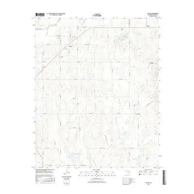
2016 Map of Tatums
USGS Topo · Published 2016About this map
The historically African American town of Tatums and the settlement of Pooleville anchor this 2016 survey of the Oklahoma landscape. This region in Carter County is defined by its network of creeks and small reservoirs, including Wildhorse Cr to the north and Caddo Cr to the south. The western edges of the Arbuckle Mountains influence the local topography, creating a rolling terrain carved by tributaries like Russell Pretty Br, Flag Br, and Tar Br. For genealogists and local historians, several small burial grounds are documented, such as Tatus Cem, Pooleville Cem, and the uniquely named Old Monk Cem. The map reveals a highly structured rural grid of section roads, where family-named routes like Ada Hooks St and Charles Griffin Rd connect the scattered homesteads of this farming and ranching community.
Find a feature on this map
60 named features on this map. Tap any name to fly to it.
Don’t see what you’re looking for? This feature index may not catch every label — zoom into the map to look around manually.
Map Details
Editions of this 2016 Tatums Map
This is the sole edition of this map. No revisions or reprints were ever made.
Other maps of this area
1898 · Pauls Valley
USGS Topo · 1:125,000
1901 · Addington
USGS Topo · 1:125,000
1901 · Ardmore
USGS Topo · 1:125,000
1902 · Pauls Valley
USGS Topo · 1:125,000
1902 · Rush Springs
USGS Topo · 1:125,000
1918 · Ardmore
USGS Topo · 1:125,000
1957 · Ardmore
USGS Topo · 1:250,000
1963 · Ardmore
USGS Topo · 1:250,000
1968 · Fox NE
USGS Topo · 1:24,000
1969 · Hennepin
USGS Topo · 1:24,000