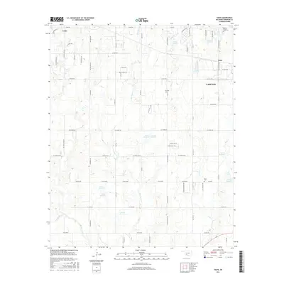
2016 Map of Taupa
USGS Topo · Published 2016About this map
Blue Beaver Creek and its many unnamed tributaries carve a dense dendritic drainage pattern across this Comanche County landscape, situated west of Lawton. The western edge of the city's expansion is visible here, including the Taupa settlement and the suburban developments of Quail Springs Drive. Amidst the modern road grid of Cache Road and West Gore Boulevard, several sites of genealogical importance remain, including Deyo Cemetery, Pecan Cemetery, and the Sunset Memorial Garden Cemetery. The terrain is punctuated by numerous artificial water bodies, such as Lake Unity and the numbered reservoirs like 031024 Reservoir, reflecting the water management required for this part of Oklahoma. In the northwest corner, the community of Cache sits along Crater Creek, providing a look at the rural-to-suburban transition as it existed in 2016.
Find a feature on this map
73 named features on this map. Tap any name to fly to it.
Don’t see what you’re looking for? This feature index may not catch every label — zoom into the map to look around manually.
Map Details
Editions of this 2016 Taupa Map
This is the sole edition of this map. No revisions or reprints were ever made.
Other maps of this area
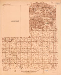
1937 · Cache
USGS Topo · 1:48,000
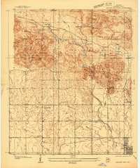
1937 · Quanah Mountain
USGS Topo · 1:24,000
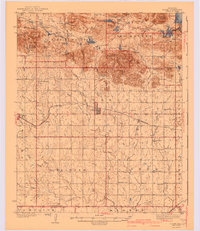
1942 · Cache
USGS Topo · 1:62,500
1946 · Lawton
USGS Topo · 1:62,500
1949 · Mount Scott
USGS Topo · 1:24,000
1949 · Quanah Mountain
USGS Topo · 1:24,000
1949 · Fort Sill
USGS Topo · 1:24,000

1955 · Lawton
USGS Topo · 1:250,000
1956 · Post Oak Creek
USGS Topo · 1:24,000
1956 · Quanah Mountain
USGS Topo · 1:24,000