
1959 Map of Tawas City
USGS Topo · Published 1960About this map
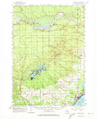
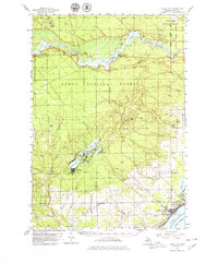
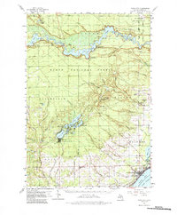
The Au Sable River cuts a deep industrial and recreational path through the heart of the Huron National Forest, dominated by a sequence of hydroelectric reservoirs including Loud Basin, Five Channels Basin, Cooke Basin, and Foote Basin. These impoundments, managed by structures like Loud Dam and Cooke Dam, illustrate the mid-century harness of Michigan's river systems for power. Along the southern banks, the Lumbermens Memorial Monument stands as a reminder of the region's logging heritage. In the southeast, the twin settlements of Tawas City and East Tawas anchor the Tawas Bay shoreline, served by the Detroit and Mackinac railroad. Inland, a network of smaller lakes such as Indian Lake and Sand Lake provides a glimpse into the seasonal resort and residential patterns of Iosco County at the end of the 1950s.
Find a feature on this map
77 named features on this map. Tap any name to fly to it.
Don’t see what you’re looking for? This feature index may not catch every label — zoom into the map to look around manually.
Map Details
Editions of this 1959 Tawas City Map
4 editions found
Other maps of this area

1954 · Tawas City
USGS Topo · 1:250,000

1958 · Tawas City
USGS Topo · 1:250,000

1959 · East Tawas
USGS Topo · 1:62,500

1959 · Glennie
USGS Topo · 1:62,500

1959 · Harrisville
USGS Topo · 1:62,500

1966 · Alabaster
USGS Topo · 1:24,000

1966 · National City
USGS Topo · 1:24,000

1968 · Hale
USGS Topo · 1:24,000

1968 · Whittemore
USGS Topo · 1:24,000

1968 · Hale SE
USGS Topo · 1:24,000