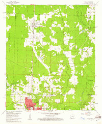
1960 Map of Taylor
USGS Topo · Published 1961About this map
Taylor and the northern reaches of Springhill sit at the center of this 1960 survey, straddling the border between Arkansas and Louisiana. The landscape is defined by the heavy infrastructure of the Springhill Oil Field and the North Shongaloo Oil Field, which punctuate the woodlands and farms of southern Columbia County and northern Webster Parish. The Kansas City Southern railroad serves as the primary industrial corridor, running north-south through the heart of the settlements and connecting local production to larger markets.
Find a feature on this map
36 named features on this map. Tap any name to fly to it.
Don’t see what you’re looking for? This feature index may not catch every label — zoom into the map to look around manually.
Map Details
Editions of this 1960 Taylor Map
2 editions found
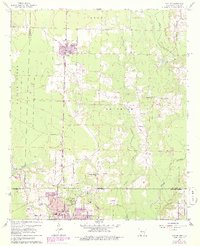
Other maps of this area

1922 · Sarepta
USGS Topo · 1:62,500

1924 · Sarepta
USGS Topo · 1:62,500

1950 · Plain Dealing NE
USGS Topo · 1:31,680

1952 · Bradley NE
USGS Topo · 1:24,000

1952 · Bradley SE
USGS Topo · 1:24,000

1953 · Carterville
USGS Topo · 1:24,000

1953 · El Dorado
USGS Topo · 1:250,000

1955 · Shreveport
USGS Topo · 1:250,000
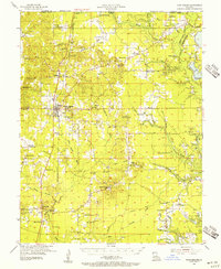
1955 · Plain Dealing
USGS Topo · 1:62,500

1956 · Shreveport
USGS Topo · 1:250,000