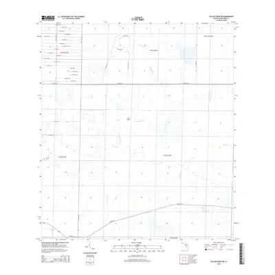
2015 Map of Taylor Creek NW
USGS Topo · Published 2015About this map
Dinner Hammock and Dad Island rise as distinct topographic landmarks within the sprawling wetland corridors of Okeechobee County. This 2015 survey reveals a landscape defined by seasonal water drainage through Fish Slough, Cypress Slough, and the headwaters of Taylor Cr. The map captures the intersection of vast natural drainage basins with a highly organized grid of rural roads and land tracks, including NW 240th St and NW 160th St. To the southwest, Chandler Slough further illustrates the complex hydrology of the region. The pattern of development shown here is one of large-scale land management, where named hammocks and islands provided the primary high ground for early navigation and land use before the modern road system established the current rectangular townships.
Find a feature on this map
42 named features on this map. Tap any name to fly to it.
Don’t see what you’re looking for? This feature index may not catch every label — zoom into the map to look around manually.
Map Details
Editions of this 2015 Taylor Creek NW Map
This is the sole edition of this map. No revisions or reprints were ever made.
Other maps of this area
1953 · Taylor Creek NW
USGS Topo · 1:24,000
1953 · Basinger
USGS Topo · 1:24,000
1953 · Fort Drum
USGS Topo · 1:24,000
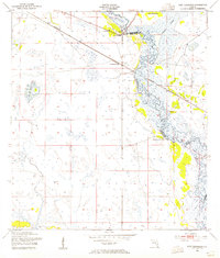
1953 · Fort Basinger
USGS Topo · 1:24,000
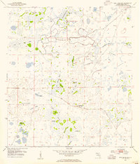
1953 · Fort Drum SW
USGS Topo · 1:24,000
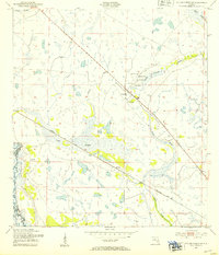
1953 · Taylor Creek SW
USGS Topo · 1:24,000
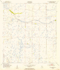
1953 · Fort Kissimmee SE
USGS Topo · 1:24,000
1953 · Taylor Creek SE
USGS Topo · 1:24,000
1953 · Taylor Creek NE
USGS Topo · 1:24,000
1956 · Fort Pierce
USGS Topo · 1:250,000