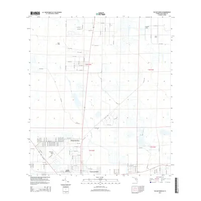
2015 Map of Taylor Creek SE
USGS Topo · Published 2015About this map
Whispering Pines and the established residential clusters of Barber Quarters and Cypress Quarters define the urban-fringe character of this region northeast of Lake Okeechobee. The landscape is a distinct blend of aviation hubs and drainage-informed development, featuring three different landing strips: the primary Okeechobee County Airport, Sunniland Ranch Airport, and Paxton Airport. This pattern suggests a community deeply integrated with general aviation and agricultural transport at the time of the survey.
Find a feature on this map
107 named features on this map. Tap any name to fly to it.
Don’t see what you’re looking for? This feature index may not catch every label — zoom into the map to look around manually.
Map Details
Editions of this 2015 Taylor Creek SE Map
This is the sole edition of this map. No revisions or reprints were ever made.
Other maps of this area

1952 · Okeechobee NW
USGS Topo · 1:24,000

1952 · Okeechobee
USGS Topo · 1:24,000

1953 · Taylor Creek NW
USGS Topo · 1:24,000

1953 · Okeechobee 4 NW
USGS Topo · 1:24,000

1953 · Taylor Creek SW
USGS Topo · 1:24,000

1953 · Okeechobee 1 SW
USGS Topo · 1:24,000

1953 · Taylor Creek SE
USGS Topo · 1:24,000

1953 · Taylor Creek NE
USGS Topo · 1:24,000

1953 · Okeechobee 1 NW
USGS Topo · 1:24,000

1956 · Fort Pierce
USGS Topo · 1:250,000
Featured Places
- Okeechobee, FL
- Basswood Estates, FL
- Barber Quarters, Okeechobee
- Cypress Quarters, FL
- Whispering Pines, FL