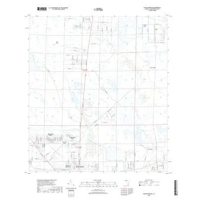
2018 Map of Taylor Creek SE
USGS Topo · Published 2018About this map
Okeechobee sits at the southern edge of this landscape, where residential development meets the intricate drainage networks of the central Florida interior. Suburban expansion is evident in the residential layouts of Basswood Estates and Whispering Pines, which contrast with the older footprint of Barber Quarters. The area is defined by a heavy reliance on local aviation, with Sunniland Ranch Airport, Paxton Airport, and the larger Okeechobee County Airport all serving the region. Between these developed pockets, the land is etched by Taylor Creek and Mosquito Creek, while Evergreen Cem provides a grounded point of local history. To the north, the terrain transitions into more isolated settlements like Eagle Island, connected by a grid of rural roads like Hillard Rd and Cemetery Rd.
Find a feature on this map
59 named features on this map. Tap any name to fly to it.
Don’t see what you’re looking for? This feature index may not catch every label — zoom into the map to look around manually.
Map Details
Editions of this 2018 Taylor Creek SE Map
This is the sole edition of this map. No revisions or reprints were ever made.
Other maps of this area

1952 · Okeechobee NW
USGS Topo · 1:24,000

1952 · Okeechobee
USGS Topo · 1:24,000

1953 · Taylor Creek NW
USGS Topo · 1:24,000

1953 · Okeechobee 4 NW
USGS Topo · 1:24,000

1953 · Taylor Creek SW
USGS Topo · 1:24,000

1953 · Okeechobee 1 SW
USGS Topo · 1:24,000

1953 · Taylor Creek SE
USGS Topo · 1:24,000

1953 · Taylor Creek NE
USGS Topo · 1:24,000

1953 · Okeechobee 1 NW
USGS Topo · 1:24,000

1956 · Fort Pierce
USGS Topo · 1:250,000
Featured Places
- Okeechobee, FL
- Basswood Estates, FL
- Barber Quarters, Okeechobee
- Cypress Quarters, FL
- Whispering Pines, FL