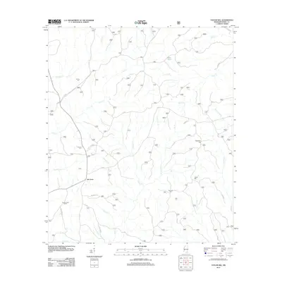
2012 Map of Taylor Hill
USGS Topo · Published 2012About this map
Oak Grove serves as the central settlement in this portion of Perry County, surrounded by a complex network of forest roads and creek drainages. The landscape is defined by the headwaters of numerous waterways, including Whiskey Creek and Harberson Mill Creek, which wind through the timberlands. Rural life is evidenced by the presence of Ray Green Farm and the specialized Erambert Seed Orchard in the southwest corner.
Find a feature on this map
33 named features on this map. Tap any name to fly to it.
Don’t see what you’re looking for? This feature index may not catch every label — zoom into the map to look around manually.
Map Details
Editions of this 2012 Taylor Hill Map
This is the sole edition of this map. No revisions or reprints were ever made.
Other maps of this area

1947 · Beaumont
USGS Topo · 1:62,500

1947 · Wiggins
USGS Topo · 1:62,500

1947 · New Augusta
USGS Topo · 1:62,500

1947 · Benndale
USGS Topo · 1:62,500

1949 · Wiggins
USGS Topo · 1:62,500

1949 · Beaumont
USGS Topo · 1:62,500

1949 · New Augusta
USGS Topo · 1:62,500

1949 · Benndale
USGS Topo · 1:62,500

1953 · Hattiesburg
USGS Topo · 1:250,000

1953 · Mobile
USGS Topo · 1:250,000