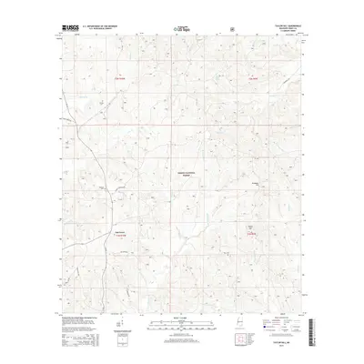
2015 Map of Taylor Hill
USGS Topo · Published 2015About this map
DeSoto National Forest dominates this section of Perry County, Mississippi, where the settlement of Oak Grove sits amid a complex network of coastal plain drainage. The landscape is defined by its many small waterways, including Shut Eye Cr, Joes Cr, and the appropriately named Water Prong Cr, which feed into the larger Leaf River basin beyond these borders. Higher elevations are marked by the namesake Taylor Hill and the starkly named Deadman Hill in the eastern quadrant. For those tracing local families, the map identifies several burial sites tucked away from the main thoroughfares, such as Herring Cem and Breland Cem. The presence of Harverson Mill Cr suggests the area's early industrial history, while the modern grid of forest service roads, such as Forest Cochran Rd, provides access to the timberlands and headwaters that characterize this rural territory.
Find a feature on this map
34 named features on this map. Tap any name to fly to it.
Don’t see what you’re looking for? This feature index may not catch every label — zoom into the map to look around manually.
Map Details
Editions of this 2015 Taylor Hill Map
This is the sole edition of this map. No revisions or reprints were ever made.
Other maps of this area
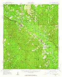
1947 · Beaumont
USGS Topo · 1:62,500
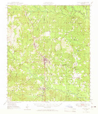
1947 · Wiggins
USGS Topo · 1:62,500
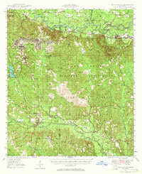
1947 · New Augusta
USGS Topo · 1:62,500
1947 · Benndale
USGS Topo · 1:62,500
1949 · Wiggins
USGS Topo · 1:62,500
1949 · Beaumont
USGS Topo · 1:62,500
1949 · New Augusta
USGS Topo · 1:62,500
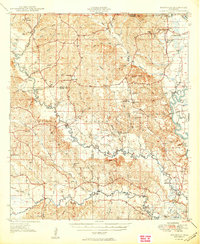
1949 · Benndale
USGS Topo · 1:62,500
1953 · Hattiesburg
USGS Topo · 1:250,000
1953 · Mobile
USGS Topo · 1:250,000