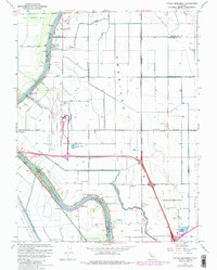
1967 Map of Taylor Monument
USGS Topo · Published 1980About this map
The Sacramento River and its complex system of levees and canals dominate this landscape at the intersection of Sacramento, Sutter, and Yolo Counties. In the late 1960s, the newly established Sacramento Metropolitan Airport appears as a massive modern addition to the pastoral American Basin, contrasting with the older agricultural infrastructure of the American Basin Canal and North Main Canal.
Find a feature on this map
37 named features on this map. Tap any name to fly to it.
Don’t see what you’re looking for? This feature index may not catch every label — zoom into the map to look around manually.
Map Details
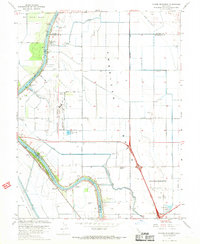
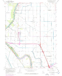
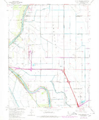
Editions of this 1967 Taylor Monument Map
4 editions found
Other maps of this area

1891 · Sacramento
USGS Topo · 1:125,000

1892 · Sacramento
USGS Topo · 1:125,000

1893 · Sacramento
USGS Topo · 1:125,000

1902 · Fairoaks
USGS Topo · 1:62,500

1907 · Davisville
USGS Topo · 1:62,500

1910 · Knights Landing
USGS Topo · 1:31,680

1910 · Vernon
USGS Topo · 1:31,680

1910 · Pleasant Grove
USGS Topo · 1:31,680

1911 · Brighton
USGS Topo · 1:31,680

1911 · Arcade
USGS Topo · 1:31,680