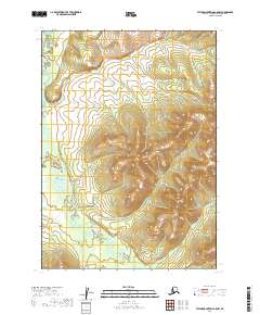
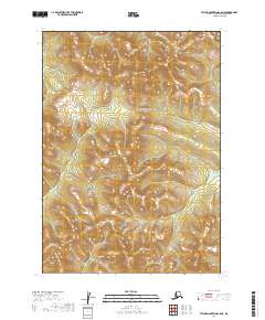
2019 Map of Taylor Mountains C-5 NW
USGS Topo · Published 2019About this map
Shotgun Cr winds through this unpopulated terrain within the Dillingham Census Area, serving as the primary drainage for the surrounding hills. The landscape is defined by its topographic complexity, revealed by elevation contours that trace a series of steep ridges and deep valleys. The Public Land Survey System grid, including t7n r49w and t7n r48w, provides the only human-imposed structure on this vast wilderness. Because the map includes no named settlements, roads, or structures, it highlights a moment in time where the environment remains largely unchanged by industrial or residential development, focused entirely on the natural hydrography and terrain of the Taylor Mountains region.
Find a feature on this map
7 named features on this map. Tap any name to fly to it.
Don’t see what you’re looking for? This feature index may not catch every label — zoom into the map to look around manually.
Map Details
Editions of this 2019 Taylor Mountains C-5 NW Map
This is the sole edition of this map. No revisions or reprints were ever made.
Other maps of this area

1950 · Taylor Mountains
USGS Topo · 1:250,000

1951 · Taylor Mountains
USGS Topo · 1:250,000

1954 · Taylor Mountains
USGS Topo · 1:250,000

1954 · Taylor Mountains D-6
USGS Topo · 1:63,360

1954 · Taylor Mountains D-5
USGS Topo · 1:63,360
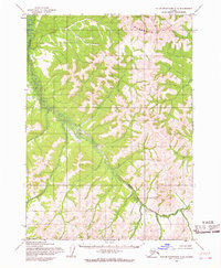
1954 · Taylor Mountains C-5
USGS Topo · 1:63,360

1954 · Taylor Mountains C-6
USGS Topo · 1:63,360
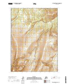
2019 · Taylor Mountains C-6 SE
USGS Topo · 1:25,000
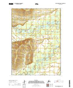
2019 · Taylor Mountains D-6 SE
USGS Topo · 1:25,000
2019 · Taylor Mountains C-5 NE
USGS Topo · 1:25,000