
1954 Map of Taylor Mountains C-6
USGS Topo · Published 1968About this map
The Kogrukluk River meanders across the northwestern portion of this Alaskan interior landscape, defining the drainage patterns for a region devoid of roads or established trails at the time of its 1953 aerial survey. Steep terrain dominates the south and east, with heights identified as Shotgun and Kukluk rising above the headwaters of Shotgun Creek. The map reflects an era of preliminary exploration where land lines were predetermined by the Bureau of Land Management but remained unsurveyed on the ground. Named landmarks like Burnt and Bears serve as vital navigational markers in an otherwise unmarked wilderness. This survey is a detailed record of the Seward Meridian territory before modern infrastructure, documenting a landscape shaped entirely by its hydrology and high-relief topography.
Find a feature on this map
6 named features on this map. Tap any name to fly to it.
Don’t see what you’re looking for? This feature index may not catch every label — zoom into the map to look around manually.
Map Details
Editions of this 1954 Taylor Mountains C-6 Map
This is the sole edition of this map. No revisions or reprints were ever made.
Other maps of this area

1950 · Taylor Mountains
USGS Topo · 1:250,000

1951 · Taylor Mountains
USGS Topo · 1:250,000

1954 · Taylor Mountains
USGS Topo · 1:250,000

1954 · Taylor Mountains D-6
USGS Topo · 1:63,360

1954 · Taylor Mountains D-5
USGS Topo · 1:63,360

1954 · Taylor Mountains B-7
USGS Topo · 1:63,360

1954 · Taylor Mountains B-5
USGS Topo · 1:63,360
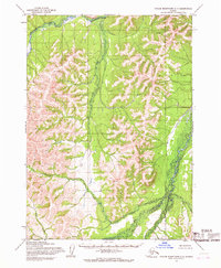
1954 · Taylor Mountains C-7
USGS Topo · 1:63,360
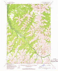
1954 · Taylor Mountains C-5
USGS Topo · 1:63,360

1954 · Taylor Mountains B-6
USGS Topo · 1:63,360