
1954 Map of Taylor Mountains B-6
USGS Topo · Published 1968About this map
Shotgun Hills dominate the northern landscape of this interior Alaskan territory, where the topography transitions from high, rocky ridges into a complex network of wetlands and drainage basins. The King Salmon River meanders across the southern half of the sheet, carving a wide valley floor marked by intricate oxbows and marshy lowlands. This mid-century survey, based on 1953 and 1955 aerial photography, documents a wilderness area defined by its natural drainage patterns and the absence of established roads or permanent settlements. The high-elevation contours of the hills contrast sharply with the alluvial plains, illustrating the primary watercourses that have historically shaped navigation and seasonal movement in this portion of the Dillingham region.
Find a feature on this map
2 named features on this map. Tap any name to fly to it.
Don’t see what you’re looking for? This feature index may not catch every label — zoom into the map to look around manually.
Map Details
Editions of this 1954 Taylor Mountains B-6 Map
This is the sole edition of this map. No revisions or reprints were ever made.
Other maps of this area

1950 · Taylor Mountains
USGS Topo · 1:250,000

1951 · Taylor Mountains
USGS Topo · 1:250,000

1954 · Taylor Mountains
USGS Topo · 1:250,000

1954 · Taylor Mountains B-7
USGS Topo · 1:63,360

1954 · Taylor Mountains B-5
USGS Topo · 1:63,360
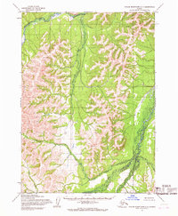
1954 · Taylor Mountains C-7
USGS Topo · 1:63,360
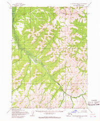
1954 · Taylor Mountains C-5
USGS Topo · 1:63,360

1954 · Taylor Mountains A-5
USGS Topo · 1:63,360

1954 · Taylor Mountains C-6
USGS Topo · 1:63,360

1954 · Taylor Mountains A-6
USGS Topo · 1:63,360