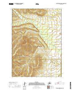
2019 Map of Taylor Mountains D-6 NE
USGS Topo · Published 2019About this map
The Kuskokwim Mountains dominate this high-latitude landscape, which is largely defined by its dramatic relief and undeveloped wildness. Located at the intersection of the Bethel Census Area and the Dillingham Census Area, the terrain is marked by significant topographical landmarks such as Kazik Hill. The drainage patterns in this subarctic region are primarily fed by the winding Muksuluk Cr, which carves through the mountain valleys.
Find a feature on this map
12 named features on this map. Tap any name to fly to it.
Don’t see what you’re looking for? This feature index may not catch every label — zoom into the map to look around manually.
Map Details
Editions of this 2019 Taylor Mountains D-6 NE Map
This is the sole edition of this map. No revisions or reprints were ever made.
Other maps of this area

1950 · Sleetmute
USGS Topo · 1:250,000

1950 · Taylor Mountains
USGS Topo · 1:250,000

1951 · Taylor Mountains
USGS Topo · 1:250,000

1954 · Sleetmute
USGS Topo · 1:250,000

1954 · Taylor Mountains
USGS Topo · 1:250,000

1954 · Sleetmute A-5
USGS Topo · 1:63,360

1954 · Taylor Mountains D-6
USGS Topo · 1:63,360

1954 · Taylor Mountains D-5
USGS Topo · 1:63,360

1954 · Sleetmute A-6
USGS Topo · 1:63,360
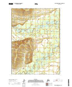
2019 · Taylor Mountains D-6 SE
USGS Topo · 1:25,000