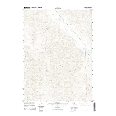
2014 Map of Taylor NW
USGS Topo · Published 2014About this map
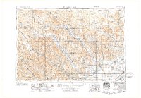
The Calamus River meanders through the heart of Loup County, defining the drainage patterns and lowlands of this central Nebraska landscape. In this 2014 survey, the river is flanked by specialized water features like Horseshoe Bend Lake and Mud Bayou, which illustrate the shifting nature of the local hydrology and oxbow formations. Transportation in this sparsely populated area is anchored by Us-183, which runs diagonally across the terrain, intersecting with Ne-96. The remainder of the landscape is accessible via a simple network of local routes such as Long Valley Rd, 840th Rd, and Upstream Rd. This topographic study reveals a terrain of subtle elevation changes where road placement is dictated by the river's winding path and the natural depressions of the plains.
Find a feature on this map
8 named features on this map. Tap any name to fly to it.
Don’t see what you’re looking for? This feature index may not catch every label — zoom into the map to look around manually.
Map Details
Editions of this 2014 Taylor NW Map
This is the sole edition of this map. No revisions or reprints were ever made.
Other maps of this area
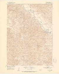
1952 · Taylor NW
USGS Topo · 1:24,000
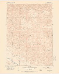
1952 · Almeria NE
USGS Topo · 1:24,000
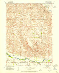
1952 · Taylor SE
USGS Topo · 1:24,000
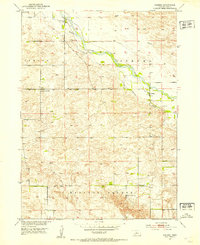
1952 · Almeria
USGS Topo · 1:24,000
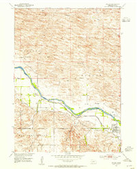
1952 · Taylor
USGS Topo · 1:24,000
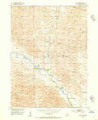
1952 · Taylor NE
USGS Topo · 1:24,000
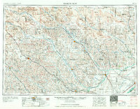
1955 · Broken Bow
USGS Topo · 1:250,000

1955 · O'Neill
USGS Topo · 1:250,000
1956 · Broken Bow
USGS Topo · 1:250,000

1959 · O'Neill
USGS Topo · 1:250,000