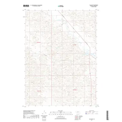
2017 Map of Taylor NW
USGS Topo · Published 2017About this map
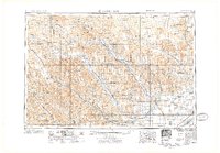
The Calamus River meanders through the northwest corner of Loup County, defining a landscape of wetlands and varied topography within the Nebraska Sandhills. This 2017 survey reveals the intricate hydrography of the region, where the river's path is marked by oxbow formations and secondary water features like Horseshoe Bend Lake and the marshy stretch of Mud Bayou. The map highlights the sparse but essential road network that navigates this terrain, including Gracie Creek Ave and Long Valley Rd, which follow the natural contours of the land. Organized by the Public Land Survey System, the area is divided into townships such as t23n r18w, reflecting the long-standing agricultural and ranching framework of the central plains.
Find a feature on this map
10 named features on this map. Tap any name to fly to it.
Don’t see what you’re looking for? This feature index may not catch every label — zoom into the map to look around manually.
Map Details
Editions of this 2017 Taylor NW Map
This is the sole edition of this map. No revisions or reprints were ever made.
Other maps of this area
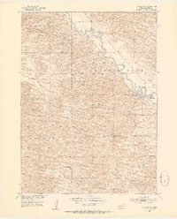
1952 · Taylor NW
USGS Topo · 1:24,000
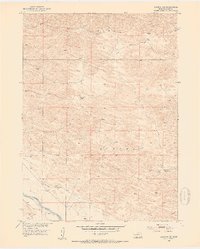
1952 · Almeria NE
USGS Topo · 1:24,000
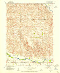
1952 · Taylor SE
USGS Topo · 1:24,000
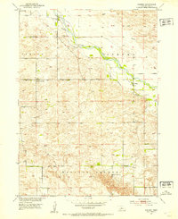
1952 · Almeria
USGS Topo · 1:24,000
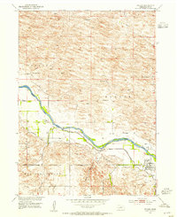
1952 · Taylor
USGS Topo · 1:24,000
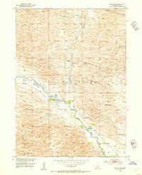
1952 · Taylor NE
USGS Topo · 1:24,000
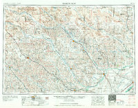
1955 · Broken Bow
USGS Topo · 1:250,000

1955 · O'Neill
USGS Topo · 1:250,000
1956 · Broken Bow
USGS Topo · 1:250,000

1959 · O'Neill
USGS Topo · 1:250,000