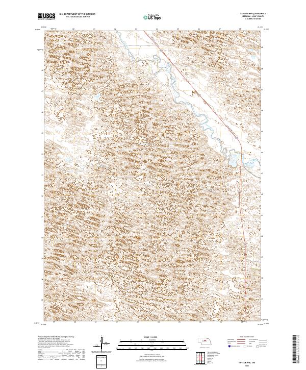
2021 Map of Taylor NW
USGS Topo · Published 2021About this map
Calamus River meanders through the heart of Loup County, defining a landscape of wetlands and winding waterways in this Nebraska Sandhills region. The river is flanked by the Calamus River Trl, providing a glimpse into the modern management of this riparian corridor. The terrain is characterized by intricate contour patterns that indicate the undulating dunes typical of the area, punctuated by low-lying features like Mud Bayou in the eastern portion of the quadrangle.
Find a feature on this map
11 named features on this map. Tap any name to fly to it.
Don’t see what you’re looking for? This feature index may not catch every label — zoom into the map to look around manually.
Map Details
Editions of this 2021 Taylor NW Map
This is the sole edition of this map. No revisions or reprints were ever made.
Other maps of this area

1952 · Taylor NW
USGS Topo · 1:24,000

1952 · Almeria NE
USGS Topo · 1:24,000

1952 · Taylor SE
USGS Topo · 1:24,000

1952 · Almeria
USGS Topo · 1:24,000

1952 · Taylor
USGS Topo · 1:24,000

1952 · Taylor NE
USGS Topo · 1:24,000

1955 · Broken Bow
USGS Topo · 1:250,000

1955 · O'Neill
USGS Topo · 1:250,000

1956 · Broken Bow
USGS Topo · 1:250,000

1959 · O'Neill
USGS Topo · 1:250,000