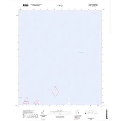
2024 Map of Taylor Pass
USGS Topo · Published 2024About this map
Taylor Pass and the surrounding waters of Grand Bay characterize this coastal quadrant of Plaquemines Parish. This map documents a landscape primarily defined by the transition between the deltaic marshlands and the open Gulf of Mexico. Apart from the landmass of Bird Island, the area is dominated by the marine environment, showing the modern coastal boundaries of t19s r18e. This 2024 survey focuses on hydrographic features, providing a precise record of the shoreline and water passages in a region where the Mississippi River delta meets the sea.
Find a feature on this map
5 named features on this map. Tap any name to fly to it.
Don’t see what you’re looking for? This feature index may not catch every label — zoom into the map to look around manually.
Map Details
Editions of this 2024 Taylor Pass Map
This is the sole edition of this map. No revisions or reprints were ever made.
Other maps of this area
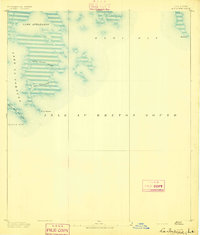
1893 · La Fortuna
USGS Topo · 1:62,500
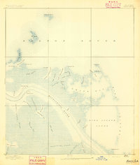
1893 · Forts
USGS Topo · 1:62,500
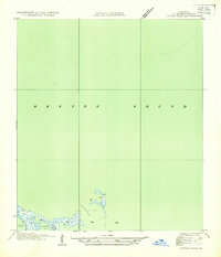
1935 · Taylor Pass
USGS Topo · 1:31,680
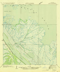
1947 · Venice
USGS Topo · 1:31,680
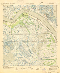
1947 · Fort St. Philip
USGS Topo · 1:31,680
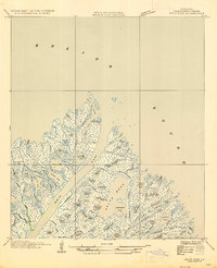
1947 · Main Pass
USGS Topo · 1:31,680
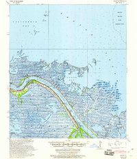
1948 · Forts
USGS Topo · 1:62,500
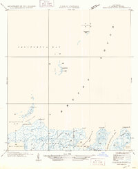
1949 · Coquille Point
USGS Topo · 1:31,680
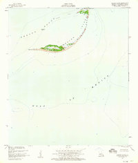
1950 · Breton Islands
USGS Topo · 1:24,000
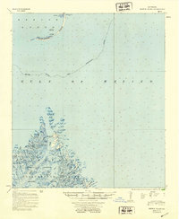
1953 · Breton Island
USGS Topo · 1:62,500