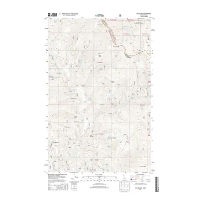
2013 Map of Taylor Peak
USGS Topo · Published 2013About this map
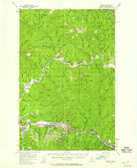
Bitterroot Range and Shoshone Range peaks define this high-elevation area along the Idaho and Montana border. The landscape is characterized by deep drainages and sharp relief, with Taylor Peak and Hullman Peak standing as prominent landmarks. Isolated camps and small clearings such as Berlin Flats, Pine Flat, and Hawkeye Camp suggest a history of seasonal activity or forest management within the Kaniku National Forest and Coeur d'Alene National Forest.
Find a feature on this map
73 named features on this map. Tap any name to fly to it.
Don’t see what you’re looking for? This feature index may not catch every label — zoom into the map to look around manually.
Map Details
Editions of this 2013 Taylor Peak Map
This is the sole edition of this map. No revisions or reprints were ever made.
Other maps of this area
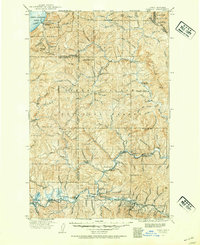
1909 · Cataldo
USGS Topo · 1:125,000
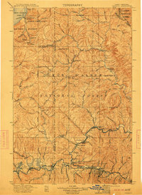
1911 · Cataldo
USGS Topo · 1:125,000
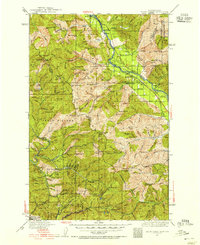
1932 · Trout Creek
USGS Topo · 1:125,000
1935 · Trout Creek
USGS Topo · 1:125,000
1936 · Trout Creek
USGS Topo · 1:125,000
1955 · Spokane
USGS Topo · 1:250,000

1956 · Wallace
USGS Topo · 1:250,000
1957 · Burke
USGS Topo · 1:62,500
1957 · Kellogg
USGS Topo · 1:62,500
1958 · Spokane
USGS Topo · 1:250,000