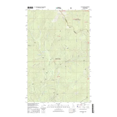
2017 Map of Taylor Peak
USGS Topo · Published 2017About this map
Pine Flat and the headwaters of Shoshone Creek anchor this detailed survey of the high country straddling the Montana-Idaho state line. The landscape is defined by the massive convergence of the Bitterroot Range and the Shoshone Range, creating a complex network of ridges and drainage basins. A high-altitude road and trail network, including Rampike Creek Road and the Coeur d'Alene NF Road 151, provides access to interior features like Cabin Peak and Hulliman Peak. This 2017 edition documents the modern boundaries and naming of the Kaniksu National Forest and Coeur D'Alene National Forest. Geographers and outdoorsmen can trace the intricate drainages of Windfall Creek and Haystack Creek, as well as named draws like Johns Draw and Rocky Draw that carve through the steep slopes of Hulliman Ridge.
Find a feature on this map
76 named features on this map. Tap any name to fly to it.
Don’t see what you’re looking for? This feature index may not catch every label — zoom into the map to look around manually.
Map Details
Editions of this 2017 Taylor Peak Map
This is the sole edition of this map. No revisions or reprints were ever made.
Other maps of this area
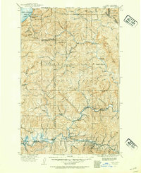
1909 · Cataldo
USGS Topo · 1:125,000
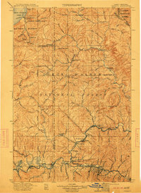
1911 · Cataldo
USGS Topo · 1:125,000
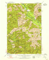
1932 · Trout Creek
USGS Topo · 1:125,000
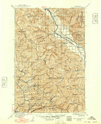
1935 · Trout Creek
USGS Topo · 1:125,000
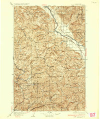
1936 · Trout Creek
USGS Topo · 1:125,000
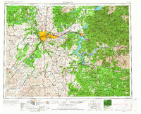
1955 · Spokane
USGS Topo · 1:250,000

1956 · Wallace
USGS Topo · 1:250,000
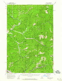
1957 · Burke
USGS Topo · 1:62,500
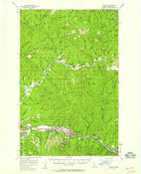
1957 · Kellogg
USGS Topo · 1:62,500
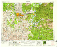
1958 · Spokane
USGS Topo · 1:250,000