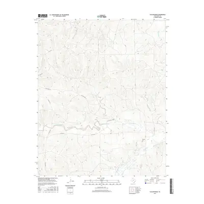
2016 Map of Taylor Ranch
USGS Topo · Published 2016About this map
Taylor Ranch HQ and the surrounding Taylor Ranch lands anchor this Gray County landscape, where the drainage systems of the Texas Panhandle define the terrain. The map traces the winding paths of North McClellan Creek and its many tributaries, including Turkey Cr, Little Turkey Cr, and Red Mud Cr. These waterways create a complex network of draws and breaks typical of the region's ranching country.
Find a feature on this map
22 named features on this map. Tap any name to fly to it.
Don’t see what you’re looking for? This feature index may not catch every label — zoom into the map to look around manually.
Map Details
Editions of this 2016 Taylor Ranch Map
This is the sole edition of this map. No revisions or reprints were ever made.
Other maps of this area
1954 · Amarillo
USGS Topo · 1:250,000
1958 · Amarillo
USGS Topo · 1:250,000
1962 · Hudgens Ranch
USGS Topo · 1:24,000
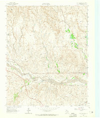
1962 · Pond Creek NW
USGS Topo · 1:24,000
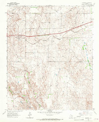
1963 · Alanreed
USGS Topo · 1:24,000
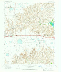
1964 · Jericho
USGS Topo · 1:24,000
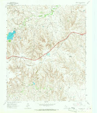
1964 · Rockledge
USGS Topo · 1:24,000
1966 · Bowers City
USGS Topo · 1:24,000
1967 · Lefors
USGS Topo · 1:24,000
1968 · Taylor Ranch
USGS Topo · 1:24,000