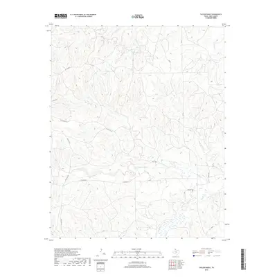
2019 Map of Taylor Ranch
USGS Topo · Published 2019About this map
Taylor Ranch HQ and the adjacent Taylor Ranch anchor this portion of the Texas Panhandle, where the landscape is defined by the winding passage of North McClellan Creek. This contemporary survey illustrates the persistent ranching layout of the region, where wide-open sections are punctuated by small family landmarks and rural infrastructure. The eastern edge of the quadrangle includes the Elderridge Cem, a critical site for local genealogical research situated near McClellan Cr. The drainage network, including Turkey Cr and Little Turkey Cr, creates a complex series of draws and ridges that have influenced the placement of rural corridors like FM 291 and various numbered ranch roads. This map provides a detailed view of the modern land divisions and water resources that sustain the high plains livestock economy in Gray County.
Find a feature on this map
23 named features on this map. Tap any name to fly to it.
Don’t see what you’re looking for? This feature index may not catch every label — zoom into the map to look around manually.
Map Details
Editions of this 2019 Taylor Ranch Map
This is the sole edition of this map. No revisions or reprints were ever made.
Other maps of this area
1954 · Amarillo
USGS Topo · 1:250,000
1958 · Amarillo
USGS Topo · 1:250,000
1962 · Hudgens Ranch
USGS Topo · 1:24,000
1962 · Pond Creek NW
USGS Topo · 1:24,000
1963 · Alanreed
USGS Topo · 1:24,000
1964 · Jericho
USGS Topo · 1:24,000
1964 · Rockledge
USGS Topo · 1:24,000
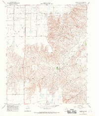
1966 · Bowers City
USGS Topo · 1:24,000
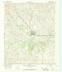
1967 · Lefors
USGS Topo · 1:24,000
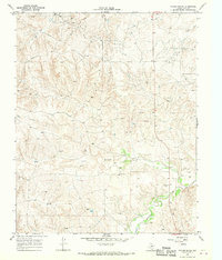
1968 · Taylor Ranch
USGS Topo · 1:24,000