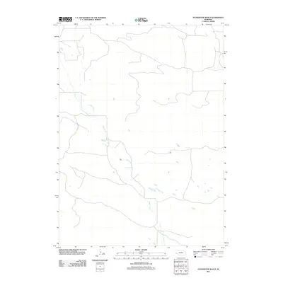
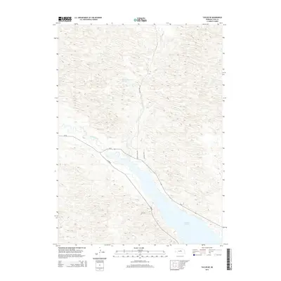
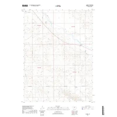
2021 Map of Taylor SE
USGS Topo · Published 2021About this map
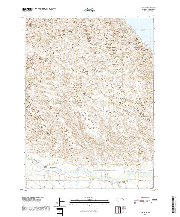
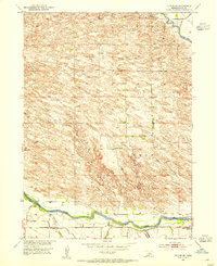
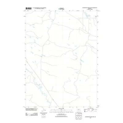
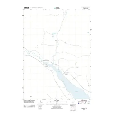
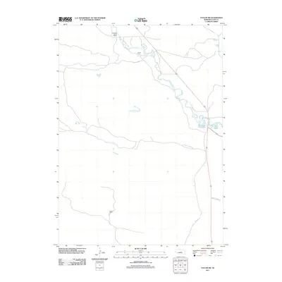
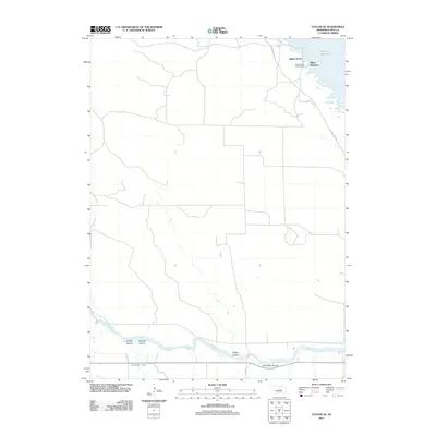
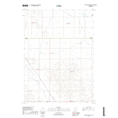
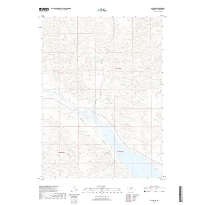
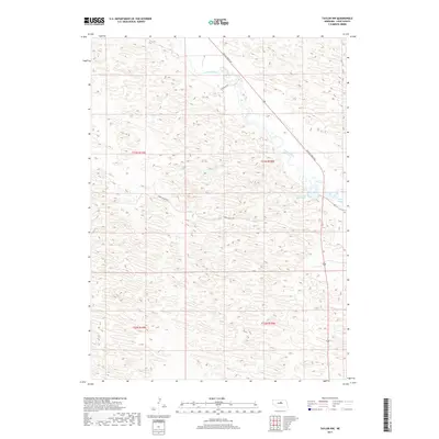
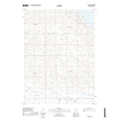
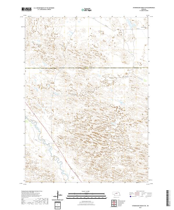
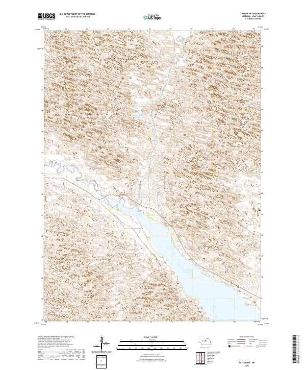
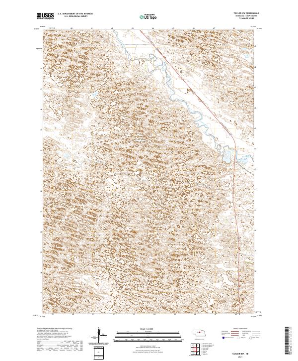
The North Loup River valley dominates the southern reaches of this landscape, where the water flows parallel to the Taylor-Ord-Canal. This irrigation infrastructure is a defining characteristic of the region's agricultural history, managing the flow of water across the Loup County terrain. To the north, the waters of the Calamus Reservoir are visible, held back by modern engineering near Calamus Dam Rd. Between these two water systems, the land is marked by natural drainage features like Cedar Cr and the distinct topography of McCord Canyon and Leydell Canyon. The map reveals a strictly organized grid of rural roads, including Kent Rd and 825th Rd, which navigate the rises and falls of the Nebraska sandhills area.
Find a feature on this map
22 named features on this map. Tap any name to fly to it.
Don’t see what you’re looking for? This feature index may not catch every label — zoom into the map to look around manually.
Map Details
Editions of this 2021 Taylor SE Map
This is the sole edition of this map. No revisions or reprints were ever made.
Historical Maps of Aggies Acres Through Time
40 maps found
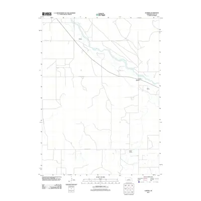
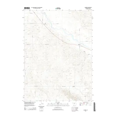
1952 Almeria
Loup County, NE
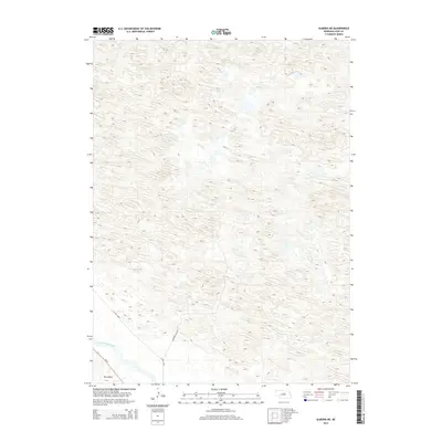
1952 Almeria NE
Loup County, NE

1952 Taylor NE
Loup County, NE
1952 Taylor NW
Loup County, NE
1952 Taylor SE
Loup County, NE
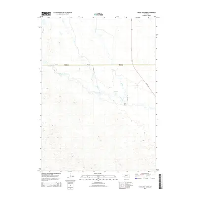
1981 Shovel Dot Ranch
Loup County, NE
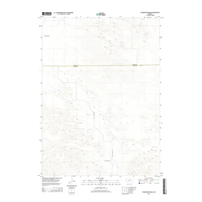
1981 Stonehouse Ranch
Loup County, NE
1981 Stonehouse Ranch SW
Loup County, NE
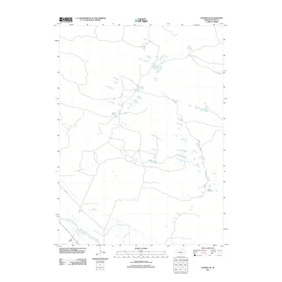
2011 Almeria
Loup County, NE
2011 Almeria NE
Loup County, NE
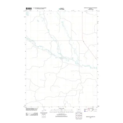
2011 Shovel Dot Ranch
Loup County, NE
2011 Stonehouse Ranch
Loup County, NE
2011 Stonehouse Ranch SW
Loup County, NE
2011 Taylor NE
Loup County, NE
2011 Taylor NW
Loup County, NE
2011 Taylor SE
Loup County, NE
2014 Almeria
Loup County, NE
2014 Almeria NE
Loup County, NE
2014 Shovel Dot Ranch
Loup County, NE
2014 Stonehouse Ranch
Loup County, NE
2014 Stonehouse Ranch SW
Loup County, NE
2014 Taylor NE
Loup County, NE
2014 Taylor NW
Loup County, NE
2014 Taylor SE
Loup County, NE
2017 Almeria
Loup County, NE
2017 Almeria NE
Loup County, NE
2017 Shovel Dot Ranch
Loup County, NE
2017 Stonehouse Ranch
Loup County, NE
2017 Stonehouse Ranch SW
Loup County, NE
2017 Taylor NE
Loup County, NE
2017 Taylor NW
Loup County, NE
2017 Taylor SE
Loup County, NE
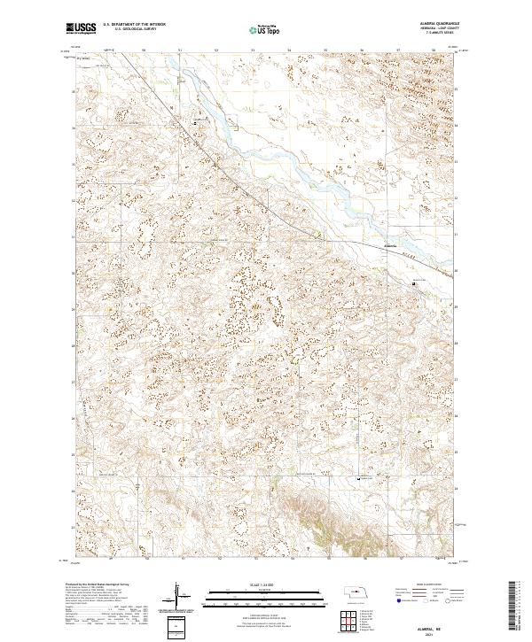
2021 Almeria
Loup County, NE
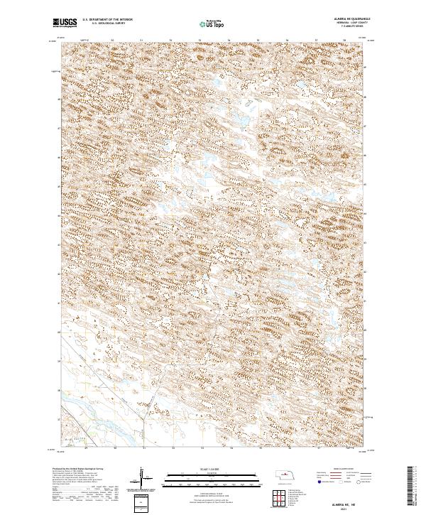
2021 Almeria NE
Loup County, NE
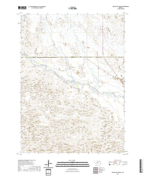
2021 Shovel Dot Ranch
Loup County, NE
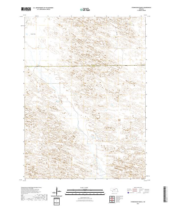
2021 Stonehouse Ranch
Loup County, NE
2021 Stonehouse Ranch SW
Loup County, NE
2021 Taylor NE
Loup County, NE
2021 Taylor NW
Loup County, NE
2021 Taylor SE
Loup County, NE