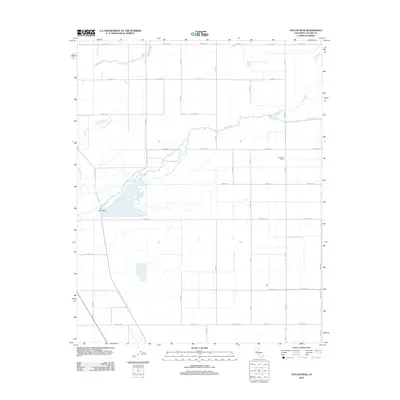
2012 Map of Taylor Weir
USGS Topo · Published 2012About this map
Tule River meanders across this Tulare County landscape, defining the central geography of an area heavily shaped by irrigation and agricultural infrastructure. The namesake Taylor Weir sits along the river's path, serving as a critical point in the local water management system. To the north and south, the terrain is partitioned by a rigid grid of rural corridors, including Avenue 184 and Avenue 120, which facilitate the movement of goods through this productive valley.
Find a feature on this map
25 named features on this map. Tap any name to fly to it.
Don’t see what you’re looking for? This feature index may not catch every label — zoom into the map to look around manually.
Map Details
Editions of this 2012 Taylor Weir Map
This is the sole edition of this map. No revisions or reprints were ever made.
Other maps of this area
1914 · Lost Hills
USGS Topo · 1:125,000
1925 · Tulare
USGS Topo · 1:31,680
1925 · Tipton
USGS Topo · 1:31,680
1927 · Lake View School
USGS Topo · 1:31,680
1927 · Paige
USGS Topo · 1:31,680
1927 · Tulare
USGS Topo · 1:31,680
1928 · Tipton
USGS Topo · 1:31,680
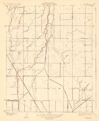
1928 · Waukena
USGS Topo · 1:31,680
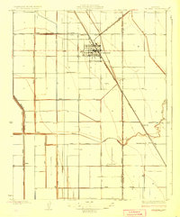
1928 · Corcoran
USGS Topo · 1:31,680
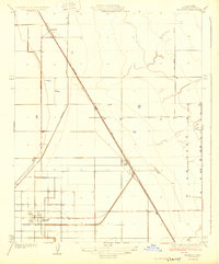
1929 · Alpaugh
USGS Topo · 1:31,680