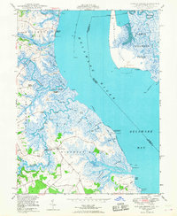
1948 Map of Taylors Bridge
USGS Topo · Published 1968About this map
Taylors Bridge sits at the heart of this landscape, where the tides of the Delaware River meet a complex network of coastal marshes and agricultural districts. Compiled from 1946 aerial photography and 1948 field checks, the map captures a rural New Castle County defined by its relationship to the water. Points of maritime access like Thomas Landing and Fennimore Landing suggest a working waterfront, while the extensive Cedar Swamp and numerous ditches like Skunk Hill Ditch indicate the long-standing efforts to manage the low-lying terrain for cultivation.
Find a feature on this map
61 named features on this map. Tap any name to fly to it.
Don’t see what you’re looking for? This feature index may not catch every label — zoom into the map to look around manually.
Map Details
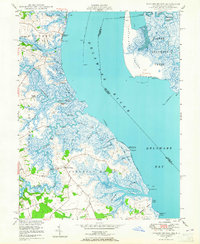
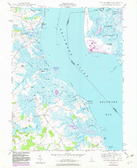
Editions of this 1948 Taylors Bridge Map
3 editions found
Other maps of this area

1890 · Salem
USGS Topo · 1:62,500

1890 · Bay Side
USGS Topo · 1:62,500

1894 · Bay Side
USGS Topo · 1:62,500

1898 · Salem
USGS Topo · 1:62,500

1899 · Vineland
USGS Topo · 1:125,000

1899 · Dover
USGS Topo · 1:125,000

1901 · Camden
USGS Topo · 1:125,000

1904 · Wilmington
USGS Topo · 1:62,500

1906 · Dover
USGS Topo · 1:125,000

1906 · Wilmington
USGS Topo · 1:62,500
Featured Places
- Lower Alloways Creek Township, NJ
- Fennimore Landing, DE
- Elsinboro Township, NJ
- Stave Landing, DE
- The Island, DE