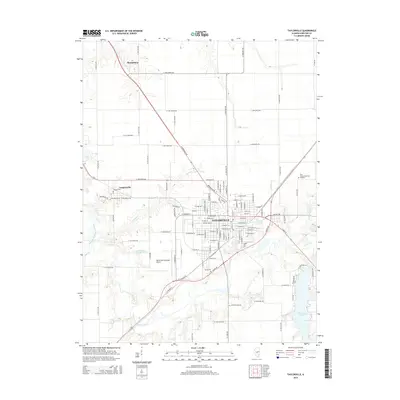
2015 Map of Taylorville
USGS Topo · Published 2015About this map
Taylorville serves as the focal point of this Christian County survey, positioned at the convergence of several major regional drainage systems. The South Fork Sangamon River winds along the southern edge of the city, joined by tributaries like Panther Cr and Brush Cr, while the expansive Taylorville Lake dominates the southeast corner. To the west, the settlement of Langleyville sits near the Langley Cem, reflecting the area's agricultural and small-town heritage. The map documents a transition in land use, showing the Taylorville Municipal Airport situated near historic family landmarks like Young Cem. To the north, Sharpsburg remains a distinct community connected by a grid of rural roads. This documentation of the river valley and its surrounding settlements captures the spatial relationship between the town's expanding residential grid and the permanent natural features of the Sangamon watershed.
Find a feature on this map
113 named features on this map. Tap any name to fly to it.
Don’t see what you’re looking for? This feature index may not catch every label — zoom into the map to look around manually.
Map Details
Editions of this 2015 Taylorville Map
This is the sole edition of this map. No revisions or reprints were ever made.
Other maps of this area

1923 · Taylorville
USGS Topo · 1:62,500

1925 · Taylorville
USGS Topo · 1:62,500

1946 · Nokomis
USGS Topo · 1:62,500

1947 · Pana
USGS Topo · 1:62,500

1949 · Nokomis
USGS Topo · 1:62,500

1949 · Pana
USGS Topo · 1:62,500

1952 · Assumption
USGS Topo · 1:62,500

1958 · Decatur
USGS Topo · 1:250,000

1961 · Decatur
USGS Topo · 1:250,000

1974 · Willeys
USGS Topo · 1:24,000