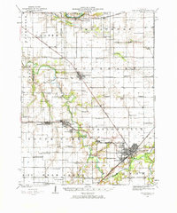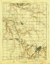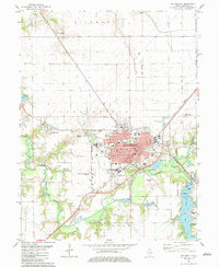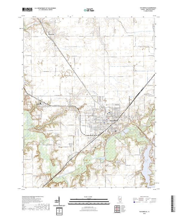
2024 Map of Taylorville
USGS Topo · Published 2024About this map
Taylorville serves as the focal point of this Christian County landscape, where the Christian County Courthouse anchors a grid of streets that transition into the surrounding Illinois farmland. The town’s relationship with the water is evident in the sprawling Taylorville Lake to the southeast and the winding course of the South Fork Sangamon River. Smaller settlements like Langleyville and Sharpsburg are connected by a network of rural roads, including Old Rte 29 and Langleyville Rd, which reflect the historic transport patterns of the region.
Find a feature on this map
56 named features on this map. Tap any name to fly to it.
Don’t see what you’re looking for? This feature index may not catch every label — zoom into the map to look around manually.
Map Details
Editions of this 2024 Taylorville Map
This is the sole edition of this map. No revisions or reprints were ever made.
Historical Maps of Taylorville Through Time
4 maps found