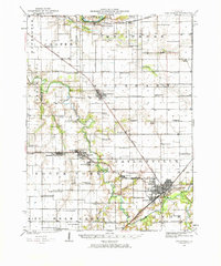
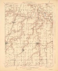
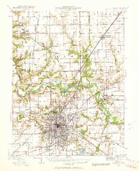
1923 Map of Taylorville
USGS Topo · Published 1967About this map
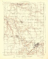
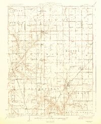
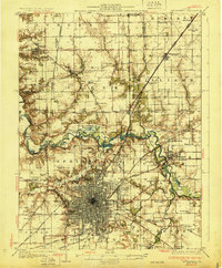
The Sangamon River and its South Fork dominate this Christian County landscape, where early 20th-century life centered on a dense network of country schools and rail-oriented settlements. The city of Taylorville serves as the regional hub, connected to outlying towns like Edinburg and Kincaid by the Baltimore and Ohio, Chicago and Illinois Midland, and Wabash railroads. Rural life is meticulously documented through family and local landmarks, including over a dozen neighborhood schools such as Sudduth School, Blake School, and Montgomery School. The presence of Humphrey Sta and Jeisyville illustrates the era's reliance on fixed rail transit for both agricultural transport and local commuting between these small Illinois prairie communities.
Find a feature on this map
79 named features on this map. Tap any name to fly to it.
Don’t see what you’re looking for? This feature index may not catch every label — zoom into the map to look around manually.
Map Details
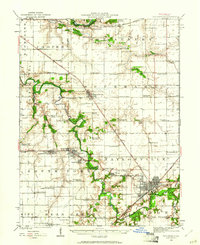
Editions of this 1923 Taylorville Map
2 editions found
Other maps of this area

1907 · Springfield
USGS Topo · 1:62,500
1922 · Divernon
USGS Topo · 1:62,500
1923 · Taylorville
USGS Topo · 1:62,500
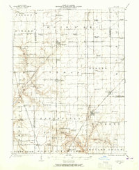
1923 · Raymond
USGS Topo · 1:62,500
1924 · Divernon
USGS Topo · 1:62,500
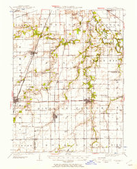
1925 · Taylorville
USGS Topo · 1:62,500
1925 · Raymond
USGS Topo · 1:62,500
1930 · Springfield
USGS Topo · 1:62,500
1940 · Springfield
USGS Topo · 1:62,500
1946 · Nokomis
USGS Topo · 1:62,500