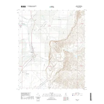
2018 Map of Tchula
USGS Topo · Published 2018About this map
Tchula and the rail-oriented settlement of Gwin sit at the edge of the Mississippi Delta, where the flat alluvial plain meets the rising hill country. This landscape is defined by its complex hydrology, featuring the winding Tchula Lake, Horseshoe Lake, and the expansive Cypress Swamp. The transition to higher ground is marked by the winding course of Fanneousha Creek and the Hillside Levee, which protects the low-lying agricultural fields. For those tracing local families, numerous small burial grounds are scattered across the terrain, including New Zion Cem and Saint Johns Cem near Shackleford, alongside the more remote Wyatt Cem and Cunliff Cem. The map also details the area's transportation network, from the historic Old Hwy 49 to the contemporary Highway 49E ATV Trail and the local streets of Tchula such as E Main St.
Find a feature on this map
85 named features on this map. Tap any name to fly to it.
Don’t see what you’re looking for? This feature index may not catch every label — zoom into the map to look around manually.
Map Details
Editions of this 2018 Tchula Map
This is the sole edition of this map. No revisions or reprints were ever made.
Other maps of this area
1940 · Seven Pines
USGS Topo · 1:62,500
1940 · Lexington
USGS Topo · 1:62,500
1940 · Mileston
USGS Topo · 1:62,500

1953 · Greenwood
USGS Topo · 1:250,000
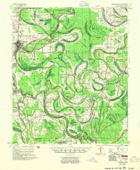
1954 · Mileston
USGS Topo · 1:62,500

1956 · Greenwood
USGS Topo · 1:250,000
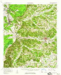
1957 · Lexington
USGS Topo · 1:62,500
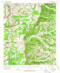
1957 · Seven Pines
USGS Topo · 1:62,500
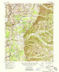
1958 · Seven Pines
USGS Topo · 1:62,500
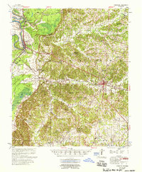
1958 · Lexington
USGS Topo · 1:62,500