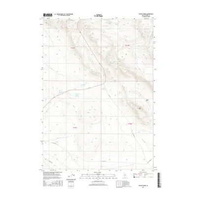
2017 Map of Teapot Dome
USGS Topo · Published 2017About this map
Teapot Dome and the adjacent Teapot Basin anchor this high-desert landscape in Elmore County, revealing a region defined by water management and historic movement. The terrain is marked by a network of drainage systems, including Rattlesnake Cr and Hot Springs Cr, which are supported by numerous named water sources such as Frenchman Spring and Rattlesnake Spring. This map illustrates the vital role of local irrigation and livestock infrastructure through several small impoundments, most notably Lamberton Reservoir, Keith Reservoir, and John Hoffman Reservoir. Further south, the presence of Hot Springs suggests geothermal activity that has long influenced the geography of the area. A sense of historical transit remains visible through the alignment of the NE Immigrant Rd, which traverses the northern reaches of the quadrangle.
Find a feature on this map
21 named features on this map. Tap any name to fly to it.
Don’t see what you’re looking for? This feature index may not catch every label — zoom into the map to look around manually.
Map Details
Editions of this 2017 Teapot Dome Map
This is the sole edition of this map. No revisions or reprints were ever made.
Other maps of this area
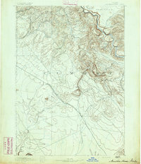
1892 · Mountain Home
USGS Topo · 1:125,000
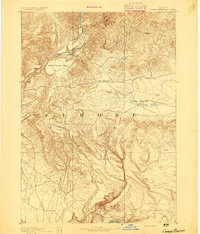
1892 · Camas Prairie
USGS Topo · 1:125,000
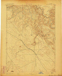
1893 · Mountain Home
USGS Topo · 1:125,000
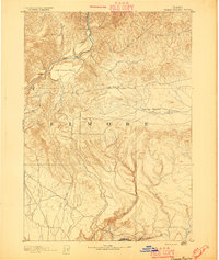
1893 · Camas Prairie
USGS Topo · 1:125,000

1955 · Hailey
USGS Topo · 1:250,000
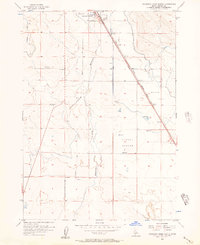
1956 · Mountain Home South
USGS Topo · 1:24,000
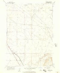
1956 · Reverse
USGS Topo · 1:24,000
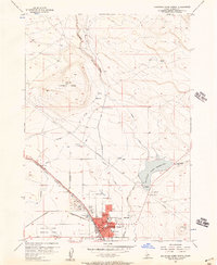
1956 · Mountain Home North
USGS Topo · 1:24,000
1956 · Mountain Home
USGS Topo · 1:62,500
1958 · Bennett Mtn
USGS Topo · 1:62,500