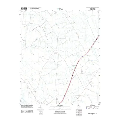
2011 Map of Tearcoat Branch
USGS Topo · Published 2011About this map
The coastal plain of South Carolina, just south of the Black River, is defined by an intricate network of wetlands and creek branches shown in this 2011 survey. The settlement of Alcolu serves as a primary focal point at the southern edge of the map, featuring the Alcolu Post Office and nearby community nodes like Harvin. This area is characterized by its agricultural layout, where long-established family routes such as Plowden Mill Rd and Bart Davis Rd connect scattered residences and farms.
Find a feature on this map
61 named features on this map. Tap any name to fly to it.
Don’t see what you’re looking for? This feature index may not catch every label — zoom into the map to look around manually.
Map Details
Editions of this 2011 Tearcoat Branch Map
This is the sole edition of this map. No revisions or reprints were ever made.
Other maps of this area

1920 · Mayesville
USGS Topo · 1:48,000

1920 · Manning
USGS Topo · 1:48,000

1921 · Manning
USGS Topo · 1:62,500

1921 · Mayesville
USGS Topo · 1:62,500

1943 · Mayesville
USGS Topo · 1:62,500

1944 · Manning
USGS Topo · 1:62,500

1946 · Sumter
USGS Topo · 1:62,500

1954 · Augusta
USGS Topo · 1:250,000

1957 · Sumter East
USGS Topo · 1:24,000

1957 · Sumter
USGS Topo · 1:62,500