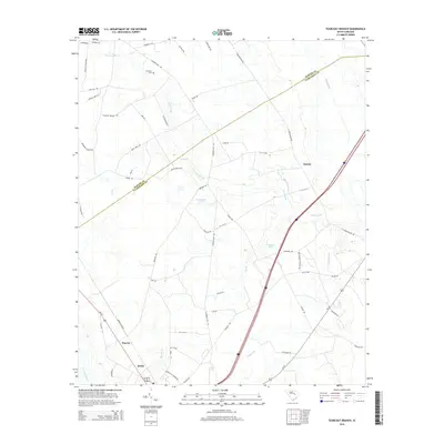
2014 Map of Tearcoat Branch
USGS Topo · Published 2014About this map
Alcolu and Harvin anchor the southwestern corner of this Clarendon County landscape, where the agricultural traditions of the South Carolina coastal plain meet a complex network of blackwater drainage. The terrain is defined by the wandering courses of Tearcoat Branch and the Pocotaligo River, which feed into numerous localized impoundments such as Cuttinumber Pond and Alderman Pond. These water features historically dictated the placement of homesteads and roads in an area where the water table remains high.
Find a feature on this map
63 named features on this map. Tap any name to fly to it.
Don’t see what you’re looking for? This feature index may not catch every label — zoom into the map to look around manually.
Map Details
Editions of this 2014 Tearcoat Branch Map
This is the sole edition of this map. No revisions or reprints were ever made.
Other maps of this area

1920 · Mayesville
USGS Topo · 1:48,000

1920 · Manning
USGS Topo · 1:48,000

1921 · Manning
USGS Topo · 1:62,500

1921 · Mayesville
USGS Topo · 1:62,500

1943 · Mayesville
USGS Topo · 1:62,500

1944 · Manning
USGS Topo · 1:62,500

1946 · Sumter
USGS Topo · 1:62,500

1954 · Augusta
USGS Topo · 1:250,000

1957 · Sumter East
USGS Topo · 1:24,000

1957 · Sumter
USGS Topo · 1:62,500