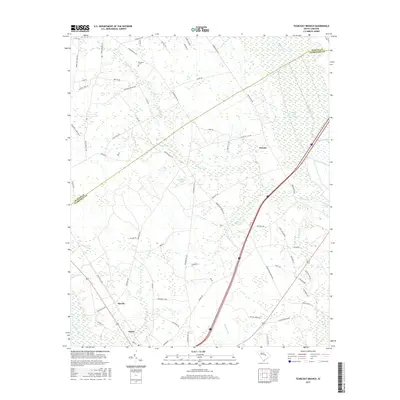
2017 Map of Tearcoat Branch
USGS Topo · Published 2017About this map
Alcolu and the surrounding lowland drainages of the South Carolina coastal plain define this survey, where the Pocataligo River meets the dense wetlands of the Black River Swamp. The landscape is a network of slow-moving water and managed impoundments, including Cuttinumber Pond and Alderman Pond, which historically supported the region's agricultural and timber interests. The settlement pattern is largely rural and linear, following roads like Plowden Mill Rd and Brewington Rd that connect small communities such as Brunsons and Durant.
Find a feature on this map
75 named features on this map. Tap any name to fly to it.
Don’t see what you’re looking for? This feature index may not catch every label — zoom into the map to look around manually.
Map Details
Editions of this 2017 Tearcoat Branch Map
This is the sole edition of this map. No revisions or reprints were ever made.
Other maps of this area

1920 · Mayesville
USGS Topo · 1:48,000

1920 · Manning
USGS Topo · 1:48,000

1921 · Manning
USGS Topo · 1:62,500

1921 · Mayesville
USGS Topo · 1:62,500

1943 · Mayesville
USGS Topo · 1:62,500

1944 · Manning
USGS Topo · 1:62,500

1946 · Sumter
USGS Topo · 1:62,500

1954 · Augusta
USGS Topo · 1:250,000

1957 · Sumter East
USGS Topo · 1:24,000

1957 · Sumter
USGS Topo · 1:62,500