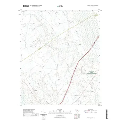
2020 Map of Tearcoat Branch
USGS Topo · Published 2020About this map
Alcolu and Durant anchor this landscape of the South Carolina lowcountry, where the Pocotaligo River and Tearcoat Br thread through a mosaic of timberland and agriculture. The map documents a rural corridor defined by significant water features, including the Black River Swamp and distinctive elliptical depressions known as Crow Bay and Cutno Bay. These geographical formations, often referred to as Carolina Bays, are a hallmark of the Atlantic Coastal Plain. Local history is grounded in sites like Brunsons Cem and the settlement at Harvin, while modern land use is represented by Pinecrest Acres and the extensive holdings of the Farm Service Agency Interest of South Carolina. The network of local routes, such as Plowden Mill Rd and Brewington Rd, reveals the enduring spatial patterns of Clarendon and Sumter counties.
Find a feature on this map
77 named features on this map. Tap any name to fly to it.
Don’t see what you’re looking for? This feature index may not catch every label — zoom into the map to look around manually.
Map Details
Editions of this 2020 Tearcoat Branch Map
This is the sole edition of this map. No revisions or reprints were ever made.
Other maps of this area

1920 · Mayesville
USGS Topo · 1:48,000

1920 · Manning
USGS Topo · 1:48,000

1921 · Manning
USGS Topo · 1:62,500

1921 · Mayesville
USGS Topo · 1:62,500

1943 · Mayesville
USGS Topo · 1:62,500

1944 · Manning
USGS Topo · 1:62,500

1946 · Sumter
USGS Topo · 1:62,500

1954 · Augusta
USGS Topo · 1:250,000

1957 · Sumter East
USGS Topo · 1:24,000

1957 · Sumter
USGS Topo · 1:62,500