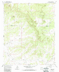
1967 Map of Techado
USGS Topo · Published 1987About this map
The Continental Divide winds through the high-elevation landscape of western New Mexico, where the remote ranching culture of the late 1960s is preserved in detail. The settlement of Techado sits in the eastern reaches, while scattered homesteads like Browns Ranch, Davis Ranch, and Towner Ranch underscore the isolated character of this high-country terrain. Deep within the canyons and draws, evidence of much earlier habitation is marked by the presence of Indian Ruins near the southern border of the quadrangle.
Find a feature on this map
26 named features on this map. Tap any name to fly to it.
Don’t see what you’re looking for? This feature index may not catch every label — zoom into the map to look around manually.
Map Details
Editions of this 1967 Techado Map
2 editions found
Other maps of this area

1954 · Saint Johns
USGS Topo · 1:250,000

1957 · Saint Johns
USGS Topo · 1:250,000

1958 · Saint Johns
USGS Topo · 1:250,000

1962 · Saint Johns
USGS Topo · 1:250,000

1967 · Mariano Springs
USGS Topo · 1:24,000

1967 · Chimney Hill
USGS Topo · 1:24,000

1967 · Adams Diggings
USGS Topo · 1:24,000

1967 · Veteado Mountain
USGS Topo · 1:24,000
1967 · Cerro Pomo
USGS Topo · 1:24,000
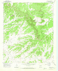
1967 · Techado
USGS Topo · 1:24,000