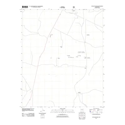
2011 Map of Tecolote Peak
USGS Topo · Published 2011About this map
The settlement of Tecolote anchors the southern portion of this Lincoln County landscape, a region defined by an extensive history of mineral extraction. Scattered across the high ground near Tecolote Peak and ET Mesa is a dense network of iron-related mining claims and operations. The naming conventions of these sites, such as the Iron City Mine, Iron Age Mine, Iron Rail Mine, and Bessemer Mine, point to a concentrated industrial focus on iron ore production that shaped the local economy.
Find a feature on this map
25 named features on this map. Tap any name to fly to it.
Don’t see what you’re looking for? This feature index may not catch every label — zoom into the map to look around manually.
Map Details
Editions of this 2011 Tecolote Peak Map
This is the sole edition of this map. No revisions or reprints were ever made.
Other maps of this area

1950 · Little Black Peak
USGS Topo · 1:62,500

1954 · Fort Sumner
USGS Topo · 1:250,000

1955 · Roswell
USGS Topo · 1:250,000

1958 · Fort Sumner
USGS Topo · 1:250,000

1958 · Roswell
USGS Topo · 1:250,000

1962 · Roswell
USGS Topo · 1:250,000

1973 · Ancho
USGS Topo · 1:24,000

1973 · Chupadero Mountain
USGS Topo · 1:24,000

1980 · Corona
USGS Topo · 1:100,000

1981 · Rough Mountain
USGS Topo · 1:24,000