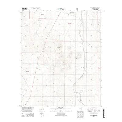
2013 Map of Tecolote Peak
USGS Topo · Published 2013About this map
Cibola National Forest lands dominate the northwestern reaches of this high-desert landscape, where ranching and aviation infrastructure meet the rugged terrain of Lincoln County. The settlement of Tecolote sits in the southeastern quadrant, connected by Elda Rd to the small outpost of Elda and the Vaughn Ranch. Central to the geography is Tecolote Peak, a prominent landmark rising above the surrounding landscape and ET Mesa. The distribution of water resources is critical in this arid environment, evidenced by a network of named stock tanks including Victoriana Tank, Roosevelt Tank, and May Tank. To the north, the Lincoln Station Airport sits near Co Road A035, while Us-54 provides a major transit corridor through the western sections of the township and range grid, following the general path near Largo Canyon.
Find a feature on this map
24 named features on this map. Tap any name to fly to it.
Don’t see what you’re looking for? This feature index may not catch every label — zoom into the map to look around manually.
Map Details
Editions of this 2013 Tecolote Peak Map
This is the sole edition of this map. No revisions or reprints were ever made.
Other maps of this area

1950 · Little Black Peak
USGS Topo · 1:62,500

1954 · Fort Sumner
USGS Topo · 1:250,000

1955 · Roswell
USGS Topo · 1:250,000

1958 · Fort Sumner
USGS Topo · 1:250,000

1958 · Roswell
USGS Topo · 1:250,000

1962 · Roswell
USGS Topo · 1:250,000

1973 · Ancho
USGS Topo · 1:24,000

1973 · Chupadero Mountain
USGS Topo · 1:24,000

1980 · Corona
USGS Topo · 1:100,000

1981 · Rough Mountain
USGS Topo · 1:24,000