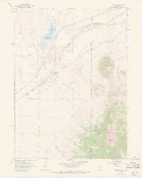
1967 Map of Tecoma
USGS Topo · Published 1971About this map
The high desert borderlands between Nevada and Utah center on the high-altitude Tecoma Valley in this late 1960s survey. The landscape is defined by the Southern Pacific railroad corridor, which serves as the primary artery through the basin, passing the small settlement of Tecoma. To the east, the terrain rises sharply into the Pilot Range, reaching its peak at Bald Eagle Mtn. The map records significant early ranching and mining activity, including the Pearson Ranch and the Copper Mtn Mines at the southern edge of the range.
Find a feature on this map
35 named features on this map. Tap any name to fly to it.
Don’t see what you’re looking for? This feature index may not catch every label — zoom into the map to look around manually.
Map Details
Editions of this 1967 Tecoma Map
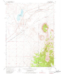
2 editions found
Other maps of this area

1954 · Brigham City
USGS Topo · 1:250,000

1955 · Wells
USGS Topo · 1:250,000

1958 · Wells
USGS Topo · 1:250,000

1958 · Brigham City
USGS Topo · 1:250,000

1961 · Wells
USGS Topo · 1:250,000

1962 · Brigham City
USGS Topo · 1:250,000

1967 · Jackson Spring
USGS Topo · 1:24,000

1967 · Lucin
USGS Topo · 1:24,000

1967 · Twelvemile Ranch
USGS Topo · 1:24,000

1967 · Patterson Pass
USGS Topo · 1:24,000